Ludvika
Mapa Urbex Kallfallet, Grangesberg
LudvikaDalarnaSzwecja
Dożywotnie aktualizacje
Kallfallet, Grangesberg - Coordonnées GPS Urbex
Obtenez la coordonnée GPS exacte de ce lieu abandonné situé dans le département Ludvika (Dalarna, Szwecja). Spot urbex vérifié et géolocalisé.
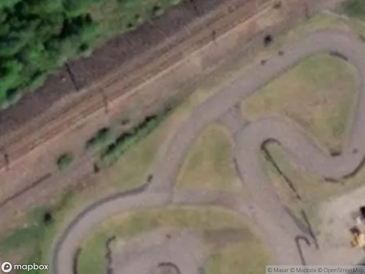
Abandoned red miners' cottages (1896) at Kallfallet, Grangesberg, emptied after the iron mine closed.
0,90EUR
Paiement unique - accès à vie
Płatność w 100% bezpieczna
AMEX
Google Pay
stripe
Połączenie szyfrowane SSL · Brak przechowywania danych bankowych
Ce qui est inclus
- Coordonnée GPS exacte
- Photo satellite du spot
- Accès immédiat après achat
To miejsce pojawia się w tych artykułach

Ce que nos articles disent de ce lieu
When the mine shut around 1989-90, the houses emptied. While the nearby Stora Hagen area was preserved as a museum, Källfallet was left to decay; several cottages have already been demolished and the rest are under threat. Check its status before you go. More places on our Dalarna urbex map .Lire l'article : Abandoned Places in Sweden: Top 10 (2026) →