Urbex Map Essex
24 abandoned places in Essex
24
spots
One-time payment - lifetime access
Regular lifetime updates
Themes included in this pack
- Schools
All abandoned places in Essex
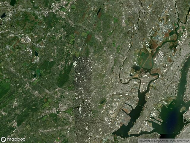
24 verified GPS coordinates in the department of Essex, New Jersey, United States.
Looking for abandoned places in Essex, New Jersey, United States? Urbex Maps offers 24 verified GPS coordinates of abandoned buildings in this area, including Schools.
24
verified spots
GPS
Google Maps, Waze
May 2026
last update
Where to find abandoned places in Essex?
The best way to find abandoned places in Essex is through the interactive urbex map on Urbex Maps with 24 verified GPS coordinates. Top categories are Schools.
Types of abandoned places in Essex
- Schools
Spots in Essex

Abandoned Old Essex County Jail

Camp Evans / Marconi Station (New Jersey, USA)

Central Railroad of NJ Terminal Yards (New Jersey, USA)

East Ferry, Newark

Ellis Island South Side (New Jersey, USA)

Fort Hancock (New Jersey, USA)

Garden State Parkway, Irvington

Greystone Park Psychiatric Hospital (New Jersey, USA)

Harrison Avenue, Roseland

Hillspur Road, Maplewood

Jungle Habitat (New Jersey, USA)

McCarter Highway, Newark

Mill Street, Newark

Morton Street Elementary School, Newark

Nike Missile Site NY-56 (New Jersey, USA)

Old Newark County Jail

Overbrook Asylum (New Jersey, USA)

Passaic Avenue, Short Hills

Paulinskill Viaduct (New Jersey, USA)

Pine Barrens Ghost Towns (New Jersey, USA)

Roseville, Newark

South Essex Avenue, Orange

University Heights, Newark

Wyoming, Short Hills


