Gallivare
Urbex マップ Malmberget
GallivareNorrbottenスウェーデン
永久更新
Malmberget - Coordonnées GPS Urbex
Obtenez la coordonnée GPS exacte de ce lieu abandonné situé dans le département Gallivare (Norrbotten, スウェーデン). Spot urbex vérifié et géolocalisé.
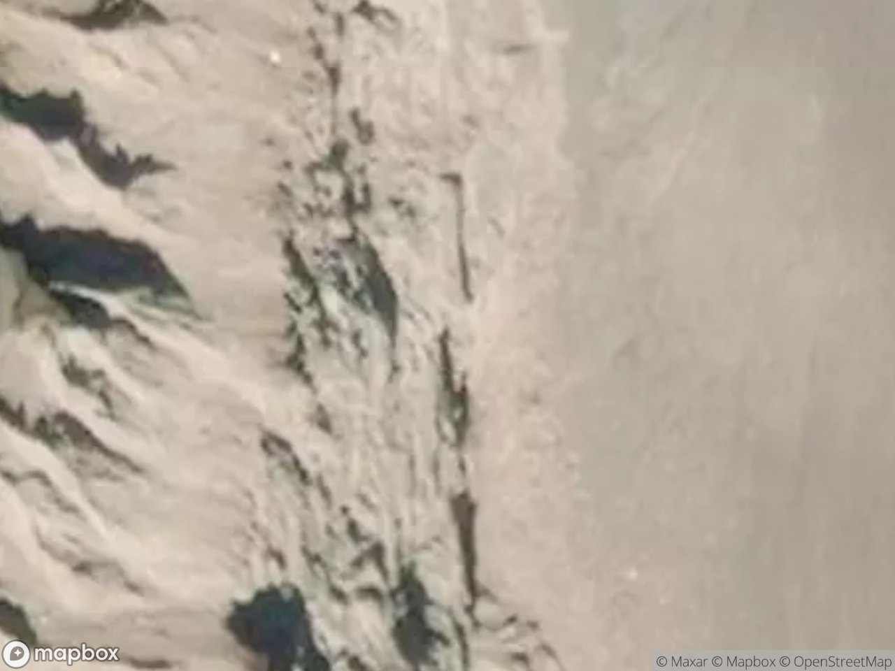
Malmberget, an iron-ore ghost town being demolished due to mining subsidence (the Kaptensgropen pit), Gallivare.
0,90EUR
Paiement unique - accès à vie
100% 安全な決済
AMEX
Google Pay
stripe
SSL暗号化通信 · 銀行情報は保存されません
Ce qui est inclus
- Coordonnée GPS exacte
- Photo satellite du spot
- Accès immédiat après achat
この場所はこれらの記事に登場します

Ce que nos articles disent de ce lieu
The population fell from about 5,590 in 2010 to roughly 900 by 2020 as residents were bought out and relocated to Gällivare, and the emptied houses are being demolished in phases by LKAB, with the urban transformation running to around 2032. This is not a preserved ruin but a town being wiped off the map; explore th…Lire l'article : Abandoned Places in Sweden: Top 10 (2026) →