Alvsbyn
Urbex マップ Lavervägarna, Älvsbyns kommun
AlvsbynNorrbottenスウェーデン
永久更新
Lavervägarna, Älvsbyns kommun - Coordonnées GPS Urbex
Obtenez la coordonnée GPS exacte de ce lieu abandonné situé dans le département Alvsbyn (Norrbotten, スウェーデン). Spot urbex vérifié et géolocalisé.
0,90EUR
Paiement unique - accès à vie
100% 安全な決済
AMEX
Google Pay
stripe
SSL暗号化通信 · 銀行情報は保存されません
Ce qui est inclus
- Coordonnée GPS exacte
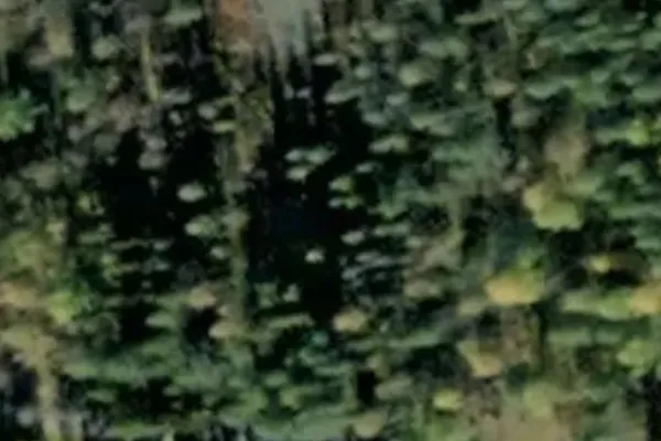
- Photo satellite du spot
- Accès immédiat après achat
この場所はこれらの記事に登場します

Ce que nos articles disent de ce lieu
The ore grade was low and prices fell: mining ended on 4 November 1946 and the town was dismantled in 1947, barely ten years after it was built. Today only concrete foundations, the street grid and a water-filled pit remain among the pines; the site is protected and signposted. More places on our Norrbotten urbex map .Lire l'article : Abandoned Places in Sweden: Top 10 (2026) →