Urbex 地图 El Paso
14 个废弃地点于 El Paso
14
地点
一次性付款 - 终身访问
终身更新
本套餐包含的主题
- 碉堡
- 医院
所有废弃地点于 El Paso
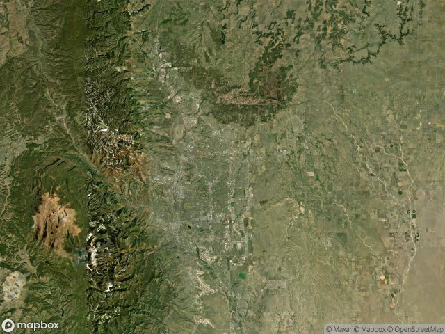
14 个经过验证的GPS坐标,位于 El Paso, Colorado, 美国.
Looking for abandoned places in El Paso, Colorado, 美国? Urbex Maps offers 14 verified GPS coordinates of abandoned buildings in this area, including 碉堡, 医院.
14
verified spots
GPS
Google Maps, Waze
2026年6月
last update
Where to find abandoned places in El Paso?
The best way to find abandoned places in El Paso is through the interactive urbex map on Urbex Maps with 14 verified GPS coordinates. Top categories are 碉堡, 医院.
Types of abandoned places in El Paso
- 碉堡
- 医院
地点于 El Paso

Abandoned Log Cabin in the Forest

Abandoned bookstore

Bradshaw Road, Peyton

Cheyenne Mountain Complex

Doc Holiday Drive, Colorado Springs

El Paso County Public Health Department Building

Imola Lane, Colorado Springs

North Nevada Avenue, Colorado Springs

Old Antlers Way, Woodmoor

Railroad Street, Ramah

St francis hospital, colorado springs

Stone structure

Stratmoor Hills Elementary School

The Mapped Ghost Node