Urbex 地图 Cape Breton
16 个废弃地点于 Cape Breton
16
地点
一次性付款 - 终身访问
100% 安全支付
SSL 加密连接 · 不存储银行数据
终身更新
本套餐包含的主题
- 废墟
- 医院
- 废弃房屋
- 灯塔
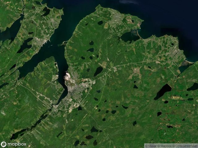
所有废弃地点于 Cape Breton
16 个经过验证的GPS坐标,位于 Cape Breton, Nova Scotia, 加拿大.
Vous cherchez des lieux abandonnes a Cape Breton, Nova Scotia, 加拿大 ? Urbex Maps propose 16 coordonnees GPS verifiees de batiments abandonnes dans cette zone, dont 废墟, 医院, 废弃房屋, 灯塔.
16
spots verifies
GPS
Google Maps, Waze
2026年6月
derniere mise a jour
Ou trouver des lieux abandonnes a Cape Breton ?
Les lieux abandonnes a Cape Breton se trouvent le mieux via la carte urbex interactive de Urbex Maps avec 16 coordonnees GPS verifiees. Les categories principales sont 废墟, 医院, 废弃房屋, 灯塔.
Types de lieux abandonnes a Cape Breton
- 废墟
- 医院
- 废弃房屋
- 灯塔
地点于 Cape Breton

Boutiliers Lane, Little Pond

Broughton Road, Broughton

Ferry Street, Sydney

Hinchey Avenue, New Waterford

King's Hospital / Hôpital du roi

Maison Lappinot

Marconi National Historic Site, Glace Bay

Peck Street, Sydney Mines

The Geometry of Absence

The Geometry of Silence

The Ghost Coordinate

The Plotted Void

Traces Plotted In Shadow

Traces Within the Grid

Traces of the Grid

Vertices of the Void