Urbex 地图 Cariboo
13 个废弃地点于 Cariboo
13
地点
一次性付款 - 终身访问
100% 安全支付
SSL 加密连接 · 不存储银行数据
终身更新
所有废弃地点于 Cariboo
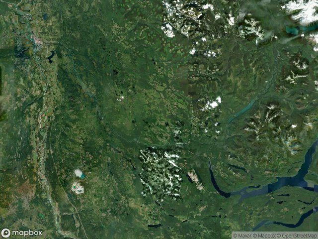
13 个经过验证的GPS坐标,位于 Cariboo, British Columbia, 加拿大.
Looking for abandoned places in Cariboo, British Columbia, 加拿大? Urbex Maps offers 13 verified GPS coordinates of abandoned buildings in this area, including .
13
verified spots
GPS
Google Maps, Waze
2026年6月
last update
Where to find abandoned places in Cariboo?
The best way to find abandoned places in Cariboo is through the interactive urbex map on Urbex Maps with 13 verified GPS coordinates. Top categories are .
地点于 Cariboo

7-Eleven, Quesnel

Back Valley Road, Area G (Lac La Hache/108 Mile Ranch)

Barkerville, British Columbia, Barkerville

Likely Road, Likely

Rosette Lake Road, Likely

Shadows in the Vector

Stanley Road, Area C (Bowron Lake/Barlow Creek/Barkerville)

The Imported Geometric Echo

The Plotted Silence

Trace of a Data Phantom

Traced in Static Geometry

Traces Within the Grid

Traces of the Vector