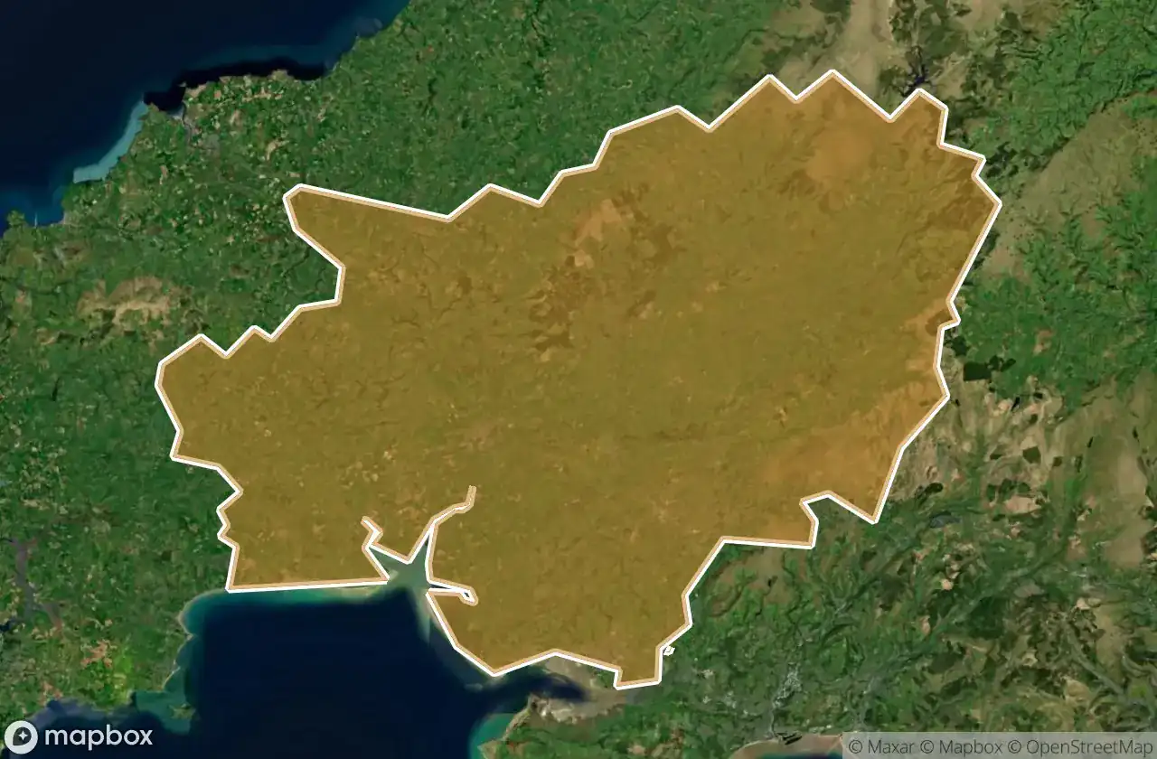
Urbex 地图 Carmarthenshire
39 个废弃地点于 Carmarthenshire
39
地点
一次性付款 - 终身访问
100% 安全支付
SSL 加密连接 · 不存储银行数据
终身更新
本套餐包含的主题
- 教堂
- 废弃房屋
所有废弃地点于 Carmarthenshire
39 个经过验证的GPS坐标,位于 Carmarthenshire, Wales, 英国.
Looking for abandoned places in Carmarthenshire, Wales, 英国? Urbex Maps offers 39 verified GPS coordinates of abandoned buildings in this area, including 教堂, 废弃房屋.
39
verified spots
GPS
Google Maps, Waze
2026年6月
last update
Where to find abandoned places in Carmarthenshire?
The best way to find abandoned places in Carmarthenshire is through the interactive urbex map on Urbex Maps with 39 verified GPS coordinates. Top categories are 教堂, 废弃房屋.
Types of abandoned places in Carmarthenshire
- 教堂
- 废弃房屋
地点于 Carmarthenshire

Amman Valley Cycleway, Brynaman

Amman Valley Hospital, Cwmaman

Banc Glas

Beudyau

Blaen Cwm Pedol Isaf

Bro Myrddin, Carmarthen

Bwlch Y Rhew

Carmarthen

Cilycwm

Cilycwm

Cross Hands C.P. School, Cross Hands

Cwrt Henry

Cynwyl Gaeo, Sir Gaerfyrddin / Carmarthenshire

Eastgate, Llanelli

Eatzen Chinese Restaurant, Pont-iets

Fwng Uchaf

Fynnon Oer

Gallt Y Gyrnig

Gwar Y Rhedyn

Hafod

House Doppelganger

Job's Well Road, Carmarthen

Llandeilo

Llangennech Park Mansion

Lluest Bryn Serth

Maes Mynach

Moelwast

Park Street Congregational Church

Pembrey and Burry Port Town, Sir Gaerfyrddin / Carmarthenshire

Pen-y-graig

Penrherber

Pontarddulais

Rhandir Waunau

Tir-y-dail Lane, Ammanford

Tregib Campus

Troed Y Rhiw

Waun Wen

White arrow mansion

Whitland