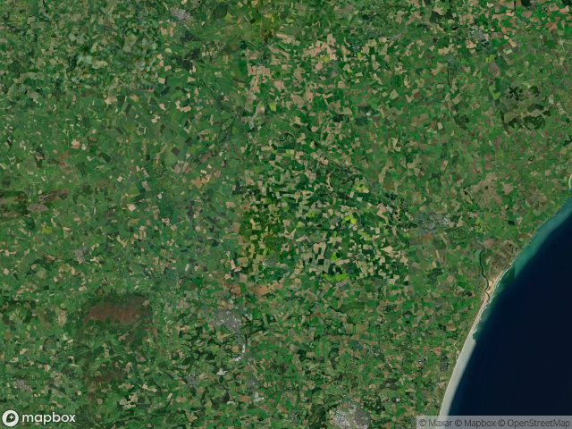
Urbex 地图 Aberdeenshire
43 个废弃地点于 Aberdeenshire
43
地点
一次性付款 - 终身访问
100% 安全支付
SSL 加密连接 · 不存储银行数据
终身更新
本套餐包含的主题
- Forteresse médiévale en ruine
- 碉堡
- forts
- 废弃房屋
所有废弃地点于 Aberdeenshire
43 个经过验证的GPS坐标,位于 Aberdeenshire, Scotland, 英国.
Looking for abandoned places in Aberdeenshire, Scotland, 英国? Urbex Maps offers 43 verified GPS coordinates of abandoned buildings in this area, including Forteresse médiévale en ruine, 碉堡, forts, 废弃房屋.
43
verified spots
GPS
Google Maps, Waze
2026年6月
last update
Where to find abandoned places in Aberdeenshire?
The best way to find abandoned places in Aberdeenshire is through the interactive urbex map on Urbex Maps with 43 verified GPS coordinates. Top categories are Forteresse médiévale en ruine, 碉堡, forts, 废弃房屋.
Types of abandoned places in Aberdeenshire
- Forteresse médiévale en ruine
- 碉堡
- forts
- 废弃房屋
地点于 Aberdeenshire

A90, Longhaven

A98, Sandend

B9139, Ladysbridge

Bacchante Way, Kingseat

Banchory

Bank Road, Maud

Bressay Drive, Ellon

Cottown, Woodhead

Craigearn, Kemnay

Doocote, Cruden Bay

East Mains, Banchory

Ecclesgreig Castle, St Cyrus

Glassaugh Windmill

Imported Shadows of Data

James Street, Peterhead

King Edward

Low Shore, Whitehills

Meldrum Academy, Oldmeldrum

Newmachar Farmhouse

Peterhead

Pirriesmill, Huntly

Pitcaple, Whiteford

Points of Forgotten Ground

Rosehearty

Slains School, Collieston

The Extracted Spatial Void

The Geometry of Absence

The Geometry of Absence

The Imported Vector Ghost

The Latent Coordinate

The Mapped Silence
The Vector’s Silent Echo

Toux Cottages, Kirktown of Fetteresso

Traces Of A Phantom Grid

Traces of Imported Silence

Traces of a Mapped Silence

Traces of the Mapped Void

Union Street, Ellon

Upper Boyndae

Ury House, Stonehaven

Vectors of Forgotten Space

Vertices of the Void

Wardhouse