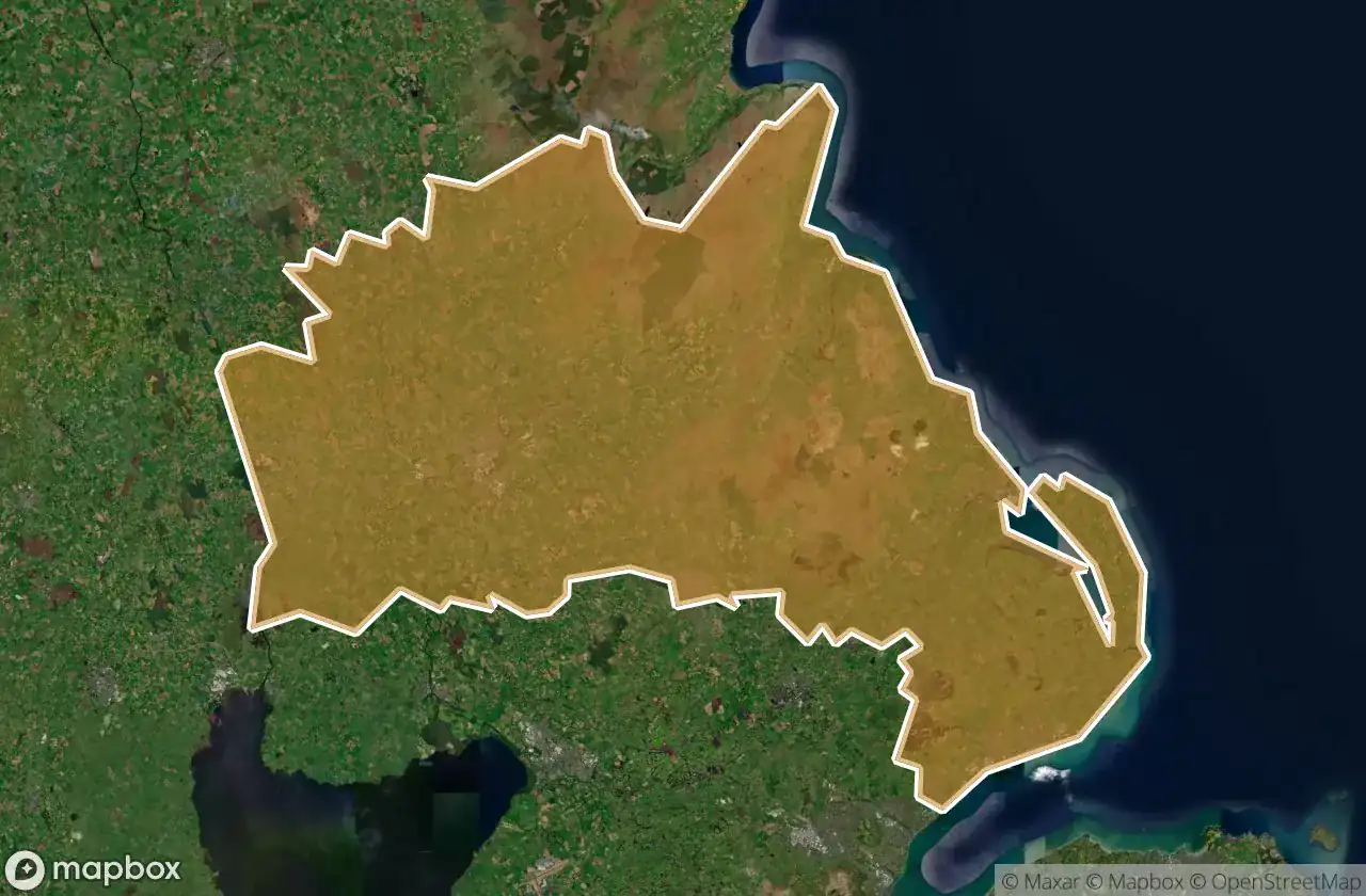
Urbex 地图 Mid And East Antrim
15 个废弃地点于 Mid And East Antrim
15
地点
一次性付款 - 终身访问
100% 安全支付
SSL 加密连接 · 不存储银行数据
终身更新
所有废弃地点于 Mid And East Antrim
15 个经过验证的GPS坐标,位于 Mid And East Antrim, Northern Ireland, 英国.
Looking for abandoned places in Mid And East Antrim, Northern Ireland, 英国? Urbex Maps offers 15 verified GPS coordinates of abandoned buildings in this area, including .
15
verified spots
GPS
Google Maps, Waze
2026年6月
last update
Where to find abandoned places in Mid And East Antrim?
The best way to find abandoned places in Mid And East Antrim is through the interactive urbex map on Urbex Maps with 15 verified GPS coordinates. Top categories are .
地点于 Mid And East Antrim

Adelaide Avenue, Whitehead

Belfast Road, Carrickfergus

Coast Road, Larne

Larne Road, Carrickfergus

Larne Road, Whitehead

Mullaghmore Park, Greenisland

Queen Street, Ballymena

Shadows in the Coordinates

Spooky palace

The Geometry of Silence

The Imported Silent Geometry

The Mapped Silence

Traces of Latent Geometry

Vectors of Forgotten Space

Whitehead Congregational Church, Whitehead