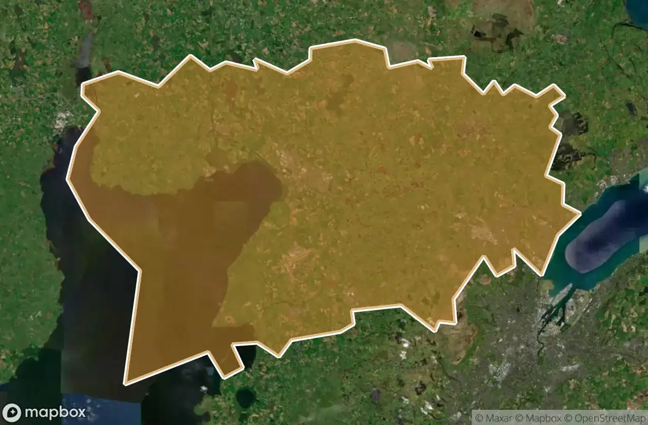
Urbex 地图 Antrim And Newtownabbey
19 个废弃地点于 Antrim And Newtownabbey
19
地点
一次性付款 - 终身访问
100% 安全支付
SSL 加密连接 · 不存储银行数据
终身更新
所有废弃地点于 Antrim And Newtownabbey
19 个经过验证的GPS坐标,位于 Antrim And Newtownabbey, Northern Ireland, 英国.
Looking for abandoned places in Antrim And Newtownabbey, Northern Ireland, 英国? Urbex Maps offers 19 verified GPS coordinates of abandoned buildings in this area, including .
19
verified spots
GPS
Google Maps, Waze
2026年6月
last update
Where to find abandoned places in Antrim And Newtownabbey?
The best way to find abandoned places in Antrim And Newtownabbey is through the interactive urbex map on Urbex Maps with 19 verified GPS coordinates. Top categories are .
地点于 Antrim And Newtownabbey

Antrim Road, Antrim and Newtownabbey District

Castle Lug, Antrim and Newtownabbey District

Crumlin

Grange Lane, Antrim and Newtownabbey District

Grange Lane, Antrim and Newtownabbey District

Hydepark Road, Antrim and Newtownabbey District

M2, Antrim and Newtownabbey District

Mallusk Road, Antrim and Newtownabbey District

Old Church Road, Newtownabbey

Riverside Special School, Antrim

The Geometry of Absence

The Grid’s Silent Echo

The Imported Silence

The Phantom Coordinate

The Plotted Void

Traces of Deleted Space

Traces of the Imported Void

Vertices Of A Silence

Whiteabbey Hospital, Newtownabbey