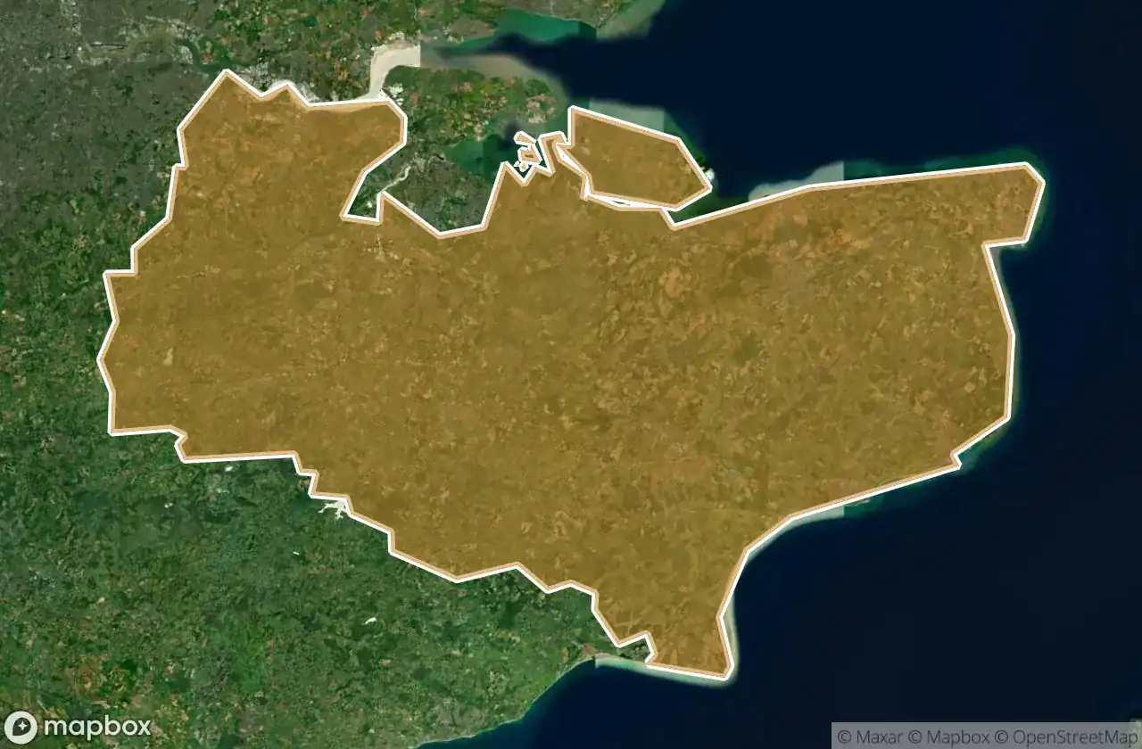
Urbex 地图 Kent
139 个废弃地点于 Kent
139
地点
一次性付款 - 终身访问
100% 安全支付
SSL 加密连接 · 不存储银行数据
终身更新
本套餐包含的主题
- 废弃房屋
- 碉堡
- 军事
- 废墟
- 医院
- 城堡
- 教堂
- 修道院
所有废弃地点于 Kent
139 个经过验证的GPS坐标,位于 Kent, England, 英国.
Vous cherchez des lieux abandonnes a Kent, England, 英国 ? Urbex Maps propose 139 coordonnees GPS verifiees de batiments abandonnes dans cette zone, dont 废弃房屋, 碉堡, 军事, 废墟, 医院, 城堡.
139
spots verifies
GPS
Google Maps, Waze
2026年6月
derniere mise a jour
Ou trouver des lieux abandonnes a Kent ?
Les lieux abandonnes a Kent se trouvent le mieux via la carte urbex interactive de Urbex Maps avec 139 coordonnees GPS verifiees. Les categories principales sont 废弃房屋, 碉堡, 军事, 废墟, 医院, 城堡.
Types de lieux abandonnes a Kent
- 废弃房屋
- 碉堡
- 军事
- 废墟
- 医院
- 城堡
- 教堂
- 修道院
地点于 Kent

Abandoned Firework Factory

Abandoned Oasis Academy

Abandoned restaurant in southborough

Abbey Fields, Swale

Albion Parade, Gravesend

Anvil Green, Waltham

Ashford

Ashton Way, Kings Hill

Aston Martin Sevenaoks

Barnland, Warden

Brambledown, Minster

Burmarsh Road, Burmarsh

Canterbury

Chaucer Road, Canterbury

Church Lane, Waltham

Church Road, Ashford

Church Road, Oare

Church Road, Oare

Coordinates of Faded Geometry

Crouch House Road, Edenbridge

Dartford Road, Farningham

Dymchurch

Eastchurch

Eastry

Eastwell, Westwell

Elms Vale Road, Dover

Eyhorne Street, Hollingbourne

Fairways, Warden

Faversham

Fired Earth, Canterbury

Ford Road, Broomfield

Frinsted

Garretts, Eastchurch

George Street, Bapchild

Golf Road, Sholden

Hall Place

Halstead

Harple Lane, Detling

Hawkhurst

Henwood, Ashford

Hook Lane, Charing

Horn Street, Seabrook

Imported from the Shadowed Grid

Joyce Green Lane, Dartford

Keith Avenue, Sutton at Hone

Kent County Lunatic Asylum (Oakwood Hospital)

Kesson House

London Road, Badger's Mount

London Road, Dunkirk

London Road, Harbledown

Lord of the Manor

Maidstone

Martello Tower 19

Martello Tower 4

Medieval Archway

Meopham

Meopham School, Meopham

Mystole Lane, Chartham

Newington

North Contractor's Road, Dungeness
+ 还有 79 个地点