Urbex 地图 Gloucestershire
59 个废弃地点于 Gloucestershire
59
地点
一次性付款 - 终身访问
100% 安全支付
SSL 加密连接 · 不存储银行数据
终身更新
本套餐包含的主题
- 废弃工厂
- 废墟
- 桥梁
- 车站
- 仓库
- 磨坊
- 废弃房屋
所有废弃地点于 Gloucestershire
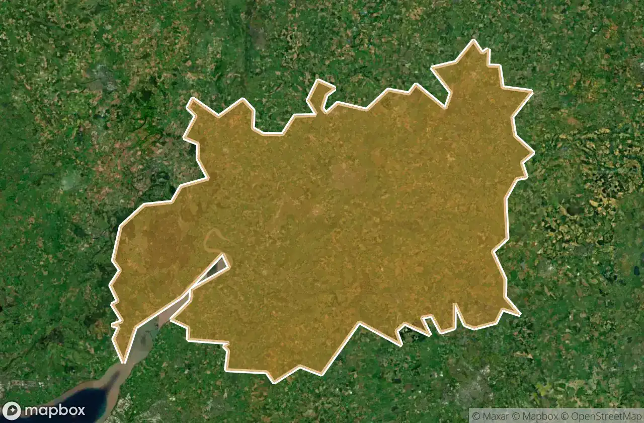
59 个经过验证的GPS坐标,位于 Gloucestershire, England, 英国.
Looking for abandoned places in Gloucestershire, England, 英国? Urbex Maps offers 59 verified GPS coordinates of abandoned buildings in this area, including 废弃工厂, 废墟, 桥梁, 车站, 仓库, 磨坊.
59
verified spots
GPS
Google Maps, Waze
2026年6月
last update
Where to find abandoned places in Gloucestershire?
The best way to find abandoned places in Gloucestershire is through the interactive urbex map on Urbex Maps with 59 verified GPS coordinates. Top categories are 废弃工厂, 废墟, 桥梁, 车站, 仓库, 磨坊.
Types of abandoned places in Gloucestershire
- 废弃工厂
- 废墟
- 桥梁
- 车站
- 仓库
- 磨坊
- 废弃房屋
地点于 Gloucestershire

A419, Selsley

Back of Avon, Tewkesbury

Behind Gchq

Berkeley

Berkeley/ham Abandoned Mill

Boughspring, Tidenham Chase

Castle Street, Dursley

Church Road, Arlingham

Cirencester

Coleford

Colwell Arts Centre, Gloucester

Convent Lane, Inchbrook

Denecroft, Cinderford

Dursley

Fetter Hill, Parkend

Four Mile Elm, Brookthorpe

Gloucester

Grange Village, Newnham on Severn

Hayden, Tewkesbury

Hill View, Northleach

Jonh Doe Factory

Kaskelot Way, Gloucester

Kings Barton, Gloucester

Kings Stanley

Lower Mill Street, Cheltenham

Luckington

Meadow Lane, Longford

Merchants Road, Gloucester

Mill End, Northleach

Mill End, Northleach

Mill View, Northleach

Milling Crescent, Aylburton

Morse Lane, Drybrook

Naas, Lydney

Naas, Lydney

Old Church House

Oldfield Crescent, Cheltenham

Palmer Ride, Westonbirt

Pennylands, Greet

Rea Lane, Gloucester

Royal Mail, Northleach

Severn Bridge Station

Shipton Village

Shipton's Grave Lane, Avening

Stonehouse

Stroud

Stroud

Swilgate Road, Tewkesbury

The Ancient Ram Inn, Wotton-under-Edge

The Elms, Stonehouse

The Pump House

Theresa Street, Gloucester

Tutnalls, Lydney

Uckington

Uckington

Urrist Barn

Wallbridge Warehouse

Wotton-under-Edge

Wotton-under-Edge