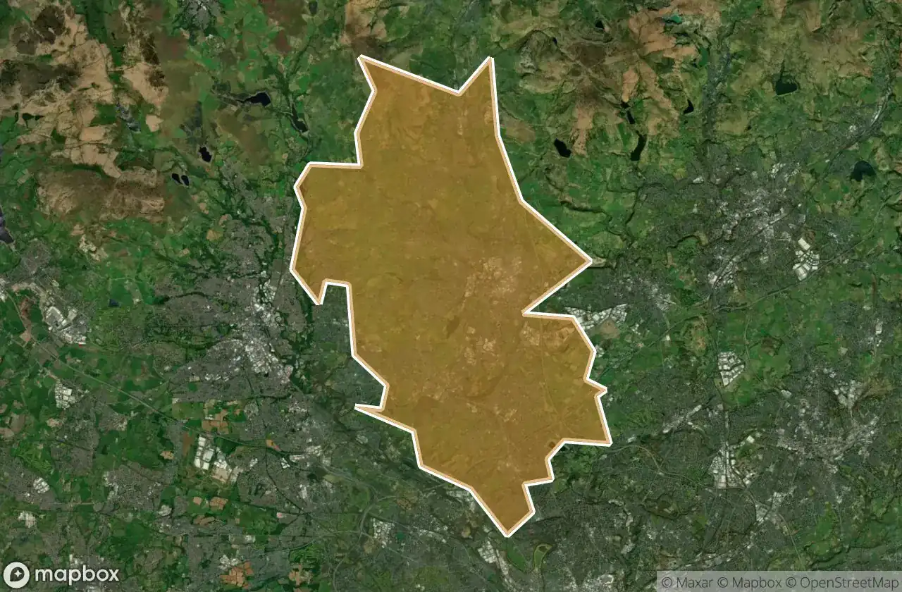
Urbex 地图 Bury
17 个废弃地点于 Bury
17
地点
一次性付款 - 终身访问
100% 安全支付
SSL 加密连接 · 不存储银行数据
终身更新
本套餐包含的主题
- 农场
- 废弃工厂
- 废弃房屋
所有废弃地点于 Bury
17 个经过验证的GPS坐标,位于 Bury, England, 英国.
Looking for abandoned places in Bury, England, 英国? Urbex Maps offers 17 verified GPS coordinates of abandoned buildings in this area, including 农场, 废弃工厂, 废弃房屋.
17
verified spots
GPS
Google Maps, Waze
2026年6月
last update
Where to find abandoned places in Bury?
The best way to find abandoned places in Bury is through the interactive urbex map on Urbex Maps with 17 verified GPS coordinates. Top categories are 农场, 废弃工厂, 废弃房屋.
Types of abandoned places in Bury
- 农场
- 废弃工厂
- 废弃房屋
地点于 Bury

Blue Route, Prestwich

Bottoms (Cinder Hill Engine House) ruins

Cinder Hill Factory (ruins)

Cinder Hill Farm

Clarke's Farm

Hamlet's Farm

Holcombe Head Farm

Ladyshore Weir

Little Lever

Moorbottom Road, Hazelhurst

Moorbottom Road, Ramsbottom

Nook Farm

Sewage Works

South Lodge (site of)

Taylor's Farm

Tottington

Tottington