Urbex 地图 Gorey Kilmuckridge
38 个废弃地点于 Gorey Kilmuckridge
38
地点
一次性付款 - 终身访问
100% 安全支付
SSL 加密连接 · 不存储银行数据
终身更新
本套餐包含的主题
- 废墟
所有废弃地点于 Gorey Kilmuckridge
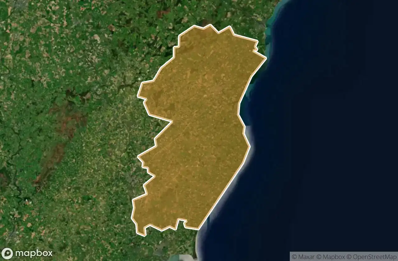
38 个经过验证的GPS坐标,位于 Gorey Kilmuckridge, Wexford, 爱尔兰.
Looking for abandoned places in Gorey Kilmuckridge, Wexford, 爱尔兰? Urbex Maps offers 38 verified GPS coordinates of abandoned buildings in this area, including 废墟.
38
verified spots
GPS
Google Maps, Waze
2026年6月
last update
Where to find abandoned places in Gorey Kilmuckridge?
The best way to find abandoned places in Gorey Kilmuckridge is through the interactive urbex map on Urbex Maps with 38 verified GPS coordinates. Top categories are 废墟.
Types of abandoned places in Gorey Kilmuckridge
- 废墟
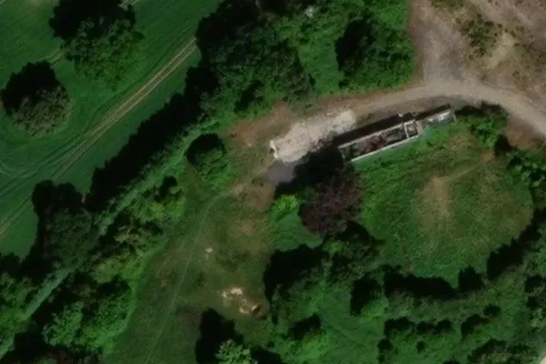
地点于 Gorey Kilmuckridge

Annagh Lane

Annagh Lane

Ballycanew Road

Ballygarrett ED, The Municipal District of Gorey — Kilmuckridge

Ballylurkin, Killincooly ED

Ballyvaloo Graveyard

Courtown ED, The Municipal District of Gorey — Kilmuckridge

Edermine ED, The Municipal District of Gorey — Kilmuckridge

Edermine ED, The Municipal District of Gorey — Kilmuckridge

Gorey Bypass

Gorey Educate Together Secondary School

Killowen Bridge

L1002

L1002

L1004

L1004

L1004

L1015

L2025

L2040

L2043

L5072

L5111

L5111

L6014

L6051

L6076

L6076

Monaseed ED, The Municipal District of Gorey — Kilmuckridge

N11, Oilgate

R741

R742

R742

R744

Sandy Cottage
St. Waleran's

Traces Within the Grid

Unyoke Market