Urbex 地图 Tipperary
712 个废弃地点 • 5 省份
712
地点
一次性付款 - 终身访问
100% 安全支付
SSL 加密连接 · 不存储银行数据
终身更新
本套餐包含的主题
- 教堂
- 城堡
- 废墟
- 废弃房屋
- 修道院
- 学校
- 车站
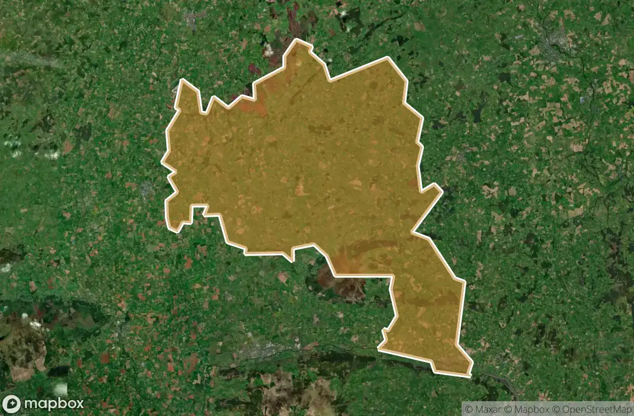
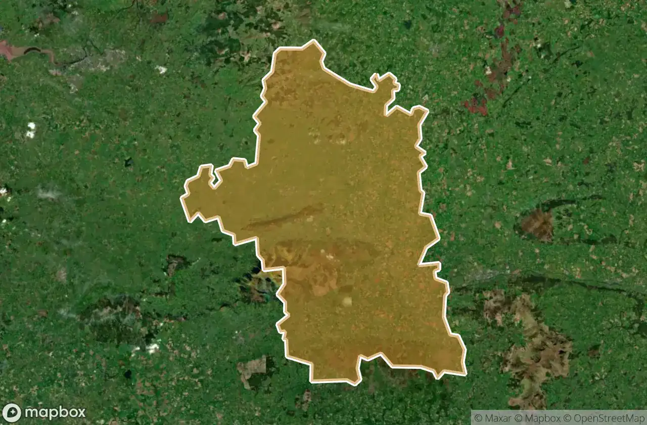
所有废弃地点于 Tipperary
712 个经过验证的GPS坐标,覆盖 5 个省份。城堡、工业废墟、医院、地堡、矿井。
Looking for abandoned places in Tipperary, 爱尔兰? Urbex Maps offers an interactive urbex map with 712 verified GPS coordinates of abandoned buildings, including 教堂, 城堡, 废墟, 废弃房屋, 修道院, 学校. The map covers 5 areas including Thurles, Carrick On Suir, Tipperary Cahir Cashel, Clonmel, Nenagh.
712
verified spots
5
areas covered
GPS
Google Maps, Waze
2026年6月
last update
Where to find abandoned places in Tipperary?
The best way to find abandoned places in Tipperary is through the interactive urbex map on Urbex Maps with GPS coordinates. The region has 712 verified locations across 5 areas, including Thurles, Carrick On Suir, Tipperary Cahir Cashel, Clonmel, Nenagh. Top categories are 教堂, 城堡, 废墟, 废弃房屋, 修道院, 学校.
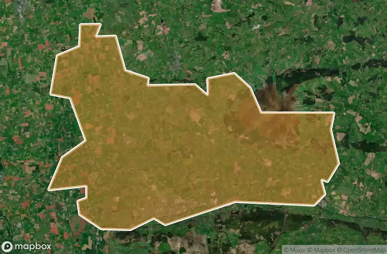
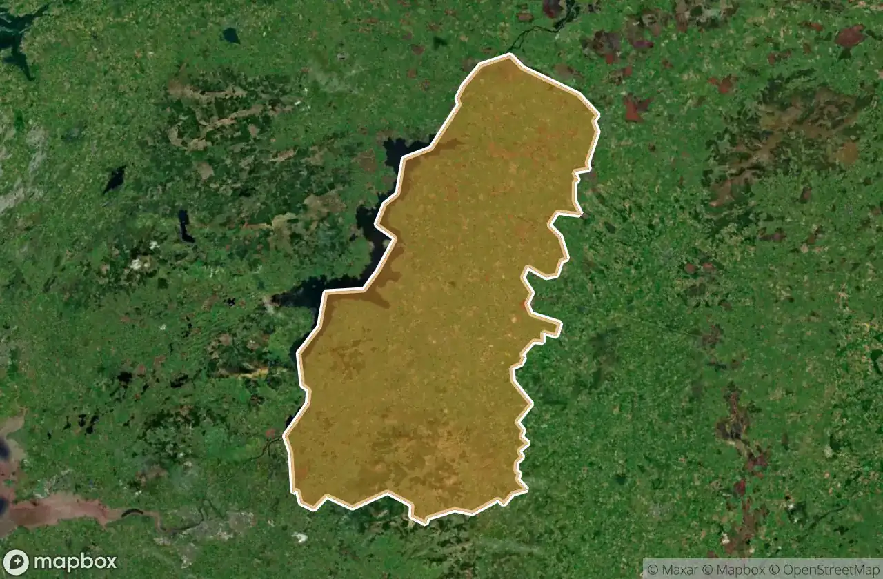
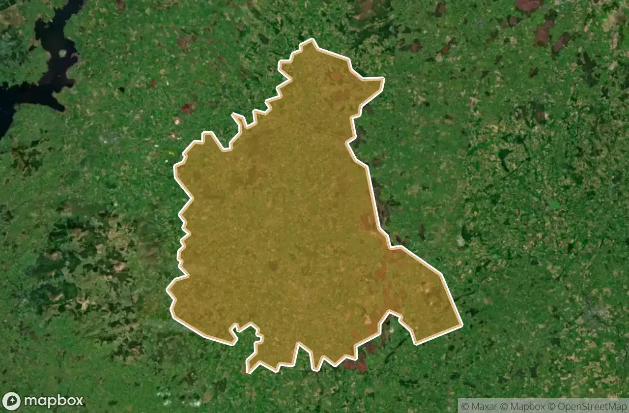
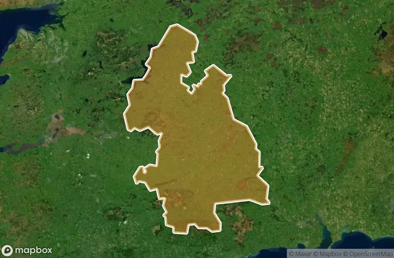
Abandoned places by area in Tipperary
| Area | Spots | Map |
|---|---|---|
| Thurles | 257 | View map → |
| Carrick On Suir | 209 | View map → |
| Tipperary Cahir Cashel | 152 | View map → |
| Clonmel | 87 | View map → |
| Nenagh | 7 | View map → |
Types of abandoned places in Tipperary
- 教堂
- 城堡
- 废墟
- 废弃房屋
- 修道院
- 学校
- 车站
按省份
点击省份查看其废墟探索地点。