Urbex 地图 Trim
103 个废弃地点于 Trim
103
地点
一次性付款 - 终身访问
100% 安全支付
SSL 加密连接 · 不存储银行数据
终身更新
本套餐包含的主题
- 废弃房屋
- 城堡
- 教堂
- 桥梁
- 废弃工厂
- 磨坊
- 修道院
- 废墟
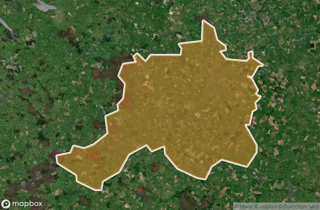
所有废弃地点于 Trim
103 个经过验证的GPS坐标,位于 Trim, Meath, 爱尔兰.
Looking for abandoned places in Trim, Meath, 爱尔兰? Urbex Maps offers 103 verified GPS coordinates of abandoned buildings in this area, including 废弃房屋, 城堡, 教堂, 桥梁, 废弃工厂, 磨坊.
103
verified spots
GPS
Google Maps, Waze
2026年6月
last update
Where to find abandoned places in Trim?
The best way to find abandoned places in Trim is through the interactive urbex map on Urbex Maps with 103 verified GPS coordinates. Top categories are 废弃房屋, 城堡, 教堂, 桥梁, 废弃工厂, 磨坊.
Types of abandoned places in Trim
- 废弃房屋
- 城堡
- 教堂
- 桥梁
- 废弃工厂
- 磨坊
- 修道院
- 废墟
地点于 Trim

Abandoned school closed in 2016

Agher

Agher House

Annagh, Ardnamullan ED

Ardnamullan ED, The Municipal District of Trim

Ballinabarney Boreen

Ballinabrackey

Ballyboggan ED, The Municipal District of Trim

Ballyboggan ED, The Municipal District of Trim

Ballynadrimna House

Basketstown Road

Bective Bridge

Black Church

Castle Jordan

Castlejordan ED, The Municipal District of Trim

Coolronan Bridge

Coolronan Bridge

Corn Mill

Croboy

Croboy

Croboy

Dangan Castle

Dangan Castle

Donore Castle

Echoes of the Stored Grid

Elm Grove

Gallow Church ruin

Galtrim ED, The Municipal District of Trim

Innfield ED, The Municipal District of Trim

Innfield ED, The Municipal District of Trim

Innfield ED, The Municipal District of Trim

Innfield ED, The Municipal District of Trim

Kilbride House

Kildalkey ED, The Municipal District of Trim

Kildalkey ED, The Municipal District of Trim

Kildalkey Road, Kildalkey

Kildalkey Road, Kildalkey

Killyon ED, The Municipal District of Trim

Killyon ED, The Municipal District of Trim

Killyon ED, The Municipal District of Trim

Knock Mills

L2202

L40121

L4015

L4015

L4017

L4018

L4018

L4021

L4091

L6210

L6210

L6211

L6212

L62134

L80142

L80171

L8018

Laracor ED, The Municipal District of Trim

M6
+ 还有 43 个地点