Urbex 地图 Ratoath
47 个废弃地点于 Ratoath
47
地点
一次性付款 - 终身访问
100% 安全支付
SSL 加密连接 · 不存储银行数据
终身更新
本套餐包含的主题
- 教堂
- 城堡
- 废弃房屋
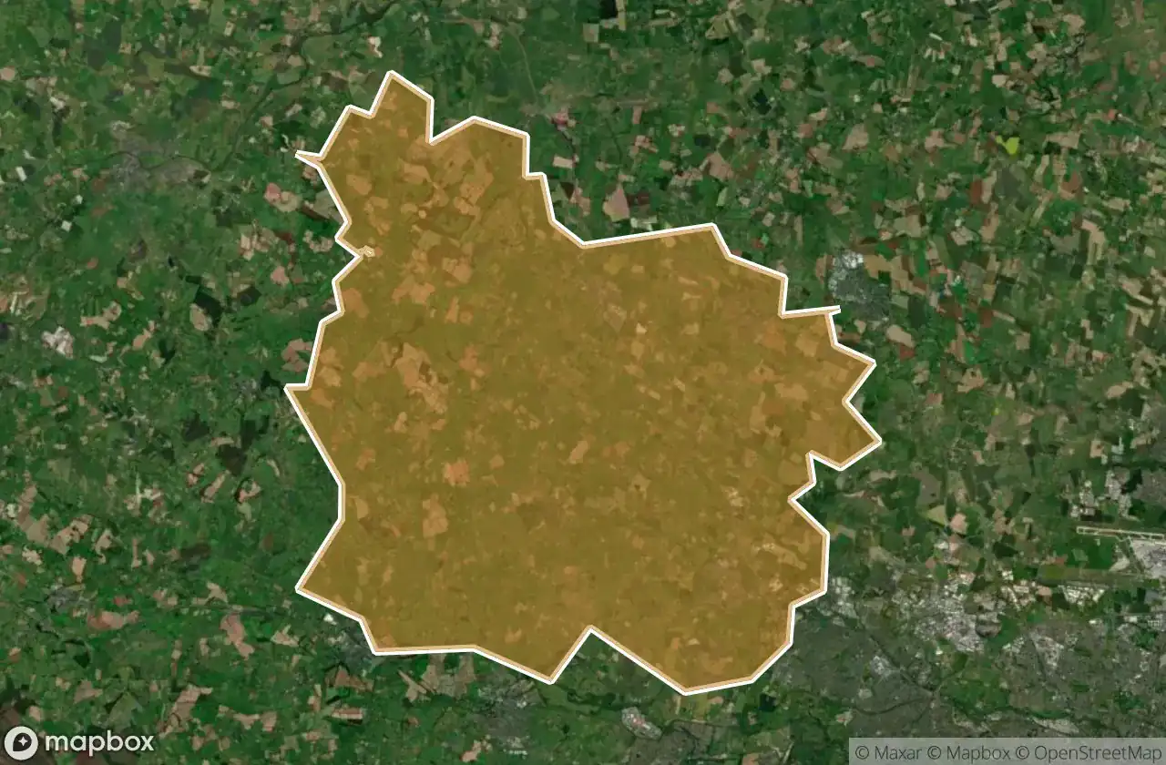
所有废弃地点于 Ratoath
47 个经过验证的GPS坐标,位于 Ratoath, Meath, 爱尔兰.
Vous cherchez des lieux abandonnes a Ratoath, Meath, 爱尔兰 ? Urbex Maps propose 47 coordonnees GPS verifiees de batiments abandonnes dans cette zone, dont 教堂, 城堡, 废弃房屋.
47
spots verifies
GPS
Google Maps, Waze
2026年6月
derniere mise a jour
Ou trouver des lieux abandonnes a Ratoath ?
Les lieux abandonnes a Ratoath se trouvent le mieux via la carte urbex interactive de Urbex Maps avec 47 coordonnees GPS verifiees. Les categories principales sont 教堂, 城堡, 废弃房屋.
Types de lieux abandonnes a Ratoath
- 教堂
- 城堡
- 废弃房屋
地点于 Ratoath

Alicebrook

Balfeaghan Church

Balfeaghan House

Church of St. Nicholas

Culmullin

Culmullin

Dunboyne

Dunboyne ED, The Municipal District of Ratoath

Dunboyne ED, The Municipal District of Ratoath

Dunshaughlin Union Workhouse, site of

Hanwood Gardens

Hartstown

Kilclone

Kilcloon

Killeen Church

Killien Road

Killien Road

Kilmore Church

Kilmore ED, The Municipal District of Ratoath

Knockmark Church

Knocknatulla

L22051

L2207

L2207

L22071

L2214

L50211

L62031

L6216

L6222

L6222

L6222

Mount View

Moyglare Castle

Mulhussey Castle

Mulhussey Church

R125

R147

Rathregan Church

Rathregan House

Rodanstown ED, The Municipal District of Ratoath

Rodanstown ED, The Municipal District of Ratoath

Rodanstown ED, The Municipal District of Ratoath

Rush House

Salestown Castle (in ruins)

St. Seachnall's Church

Windmill (in ruins)