Urbex 地图 Laytown Bettystown
82 个废弃地点于 Laytown Bettystown
82
地点
一次性付款 - 终身访问
100% 安全支付
SSL 加密连接 · 不存储银行数据
终身更新
本套餐包含的主题
- 教堂
- 废弃房屋
- 城堡
- 修道院
- 废墟
所有废弃地点于 Laytown Bettystown
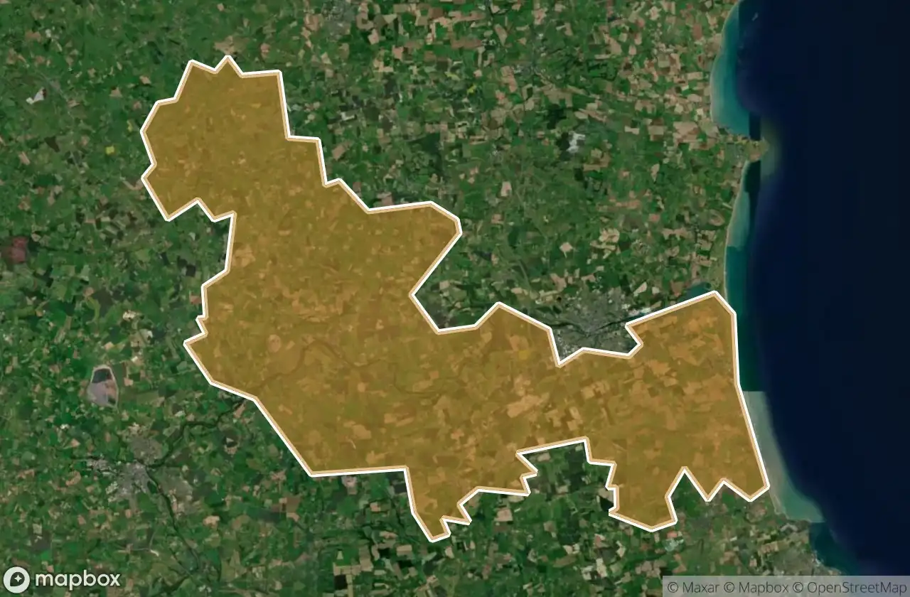
82 个经过验证的GPS坐标,位于 Laytown Bettystown, Meath, 爱尔兰.
Looking for abandoned places in Laytown Bettystown, Meath, 爱尔兰? Urbex Maps offers 82 verified GPS coordinates of abandoned buildings in this area, including 教堂, 废弃房屋, 城堡, 修道院, 废墟.
82
verified spots
GPS
Google Maps, Waze
2026年6月
last update
Where to find abandoned places in Laytown Bettystown?
The best way to find abandoned places in Laytown Bettystown is through the interactive urbex map on Urbex Maps with 82 verified GPS coordinates. Top categories are 教堂, 废弃房屋, 城堡, 修道院, 废墟.
Types of abandoned places in Laytown Bettystown
- 教堂
- 废弃房屋
- 城堡
- 修道院
- 废墟
地点于 Laytown Bettystown

Abbey Road

Beaubec

Corballis

Donacarney Castle (ruin)

Drogheda Grammar School, Drogheda

Glenmore House

Gormanston

Gormanston

Kells Road

Killary Church

Killary ED, The Municipal District of Laytown — Bettystown

Killowen House B&B, Drogheda

L1013

L1601

L16015

L1602

L1610

L1612

L16161, Julianstown

L16163

L5056

L5600

L56002

L56002

L56005

L5601

L5601

L5602

L5611

L5614

Lagavooren

N2

Newtown

Old Windmill

Pilltown House

R150

R150

Saint Mary's ED, The Municipal District of Laytown — Bettystown

Shadows of the Grid

Slane

Slane

Slane

Slane

Slane

Slane

Slane

Slane

Slane

Slane

Slane

Slane

Slane

Slane

Slane

Slane

Slane

Slane

Slane Church

St Mary's Abbey

St Mary's Church
+ 还有 22 个地点