Urbex 地图 Clane Maynooth
76 个废弃地点于 Clane Maynooth
76
地点
一次性付款 - 终身访问
100% 安全支付
SSL 加密连接 · 不存储银行数据
终身更新
本套餐包含的主题
- 教堂
- 城堡
- 废弃房屋
- 废墟
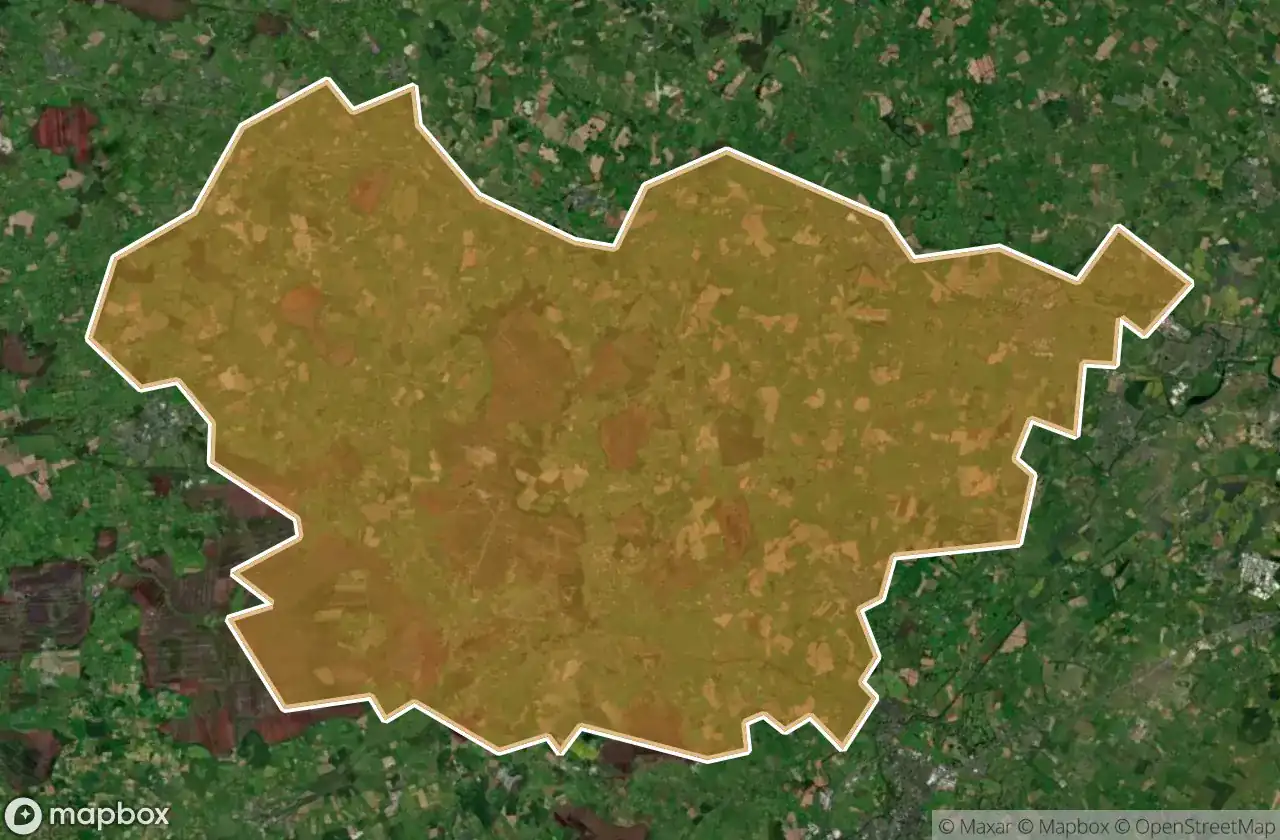
所有废弃地点于 Clane Maynooth
76 个经过验证的GPS坐标,位于 Clane Maynooth, Kildare, 爱尔兰.
Looking for abandoned places in Clane Maynooth, Kildare, 爱尔兰? Urbex Maps offers 76 verified GPS coordinates of abandoned buildings in this area, including 教堂, 城堡, 废弃房屋, 废墟.
76
verified spots
GPS
Google Maps, Waze
2026年6月
last update
Where to find abandoned places in Clane Maynooth?
The best way to find abandoned places in Clane Maynooth is through the interactive urbex map on Urbex Maps with 76 verified GPS coordinates. Top categories are 教堂, 城堡, 废弃房屋, 废墟.
Types of abandoned places in Clane Maynooth
- 教堂
- 城堡
- 废弃房屋
- 废墟
地点于 Clane Maynooth

Ballynadrumny Cemetery

Balraheen Church

Bond Bridge

Carbury Castle

Carrick Castle

Chapel of St. Patrick of Killeighter

Church Street

Cloncurry ED, The Municipal District of Clane — Maynooth

Cloncurry ED, The Municipal District of Clane — Maynooth

Clonkeeran House

Confey Road

Donaghmore

Dunfierth Church

Dunfierth Park Road

Dunfierth Park Road

Edenderry Road

Geraldine's Castle

Grand Canal Way

Grand Canal Way

Grange Castle

Handball Courts (Ruins)

Jacob's Well Road

Kilcock

Kilcock ED, The Municipal District of Clane — Maynooth

Kilcock ED, The Municipal District of Clane — Maynooth

Killybegs House

Kinnafad Castle (ruins)

L1001

L1003

L1003

L1006

L1009

L1010

L1010

L1023

L5007

L5010, Kilshanchoe

L5017

L5017

L5019

L5022

L5025

L5025

L5028

L5028

L5035

L5065

L50664

L5076

L5077

Laraghbryan Church

Lodgepark

M4

M4

Mylerstown Castle

Oldtowndonore

R148

R148

R160

R160
+ 还有 16 个地点