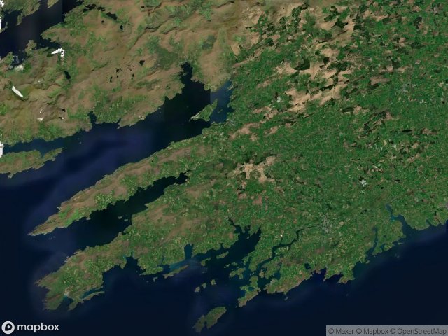
Urbex 地图 West Cork
23 个废弃地点于 West Cork
23
地点
一次性付款 - 终身访问
100% 安全支付
SSL 加密连接 · 不存储银行数据
终身更新
本套餐包含的主题
- 废墟
- 教堂
- 农场
所有废弃地点于 West Cork
23 个经过验证的GPS坐标,位于 West Cork, Cork, 爱尔兰.
Looking for abandoned places in West Cork, Cork, 爱尔兰? Urbex Maps offers 23 verified GPS coordinates of abandoned buildings in this area, including 废墟, 教堂, 农场.
23
verified spots
GPS
Google Maps, Waze
2026年6月
last update
Where to find abandoned places in West Cork?
The best way to find abandoned places in West Cork is through the interactive urbex map on Urbex Maps with 23 verified GPS coordinates. Top categories are 废墟, 教堂, 农场.
Types of abandoned places in West Cork
- 废墟
- 教堂
- 农场
地点于 West Cork

Bally Church

Bantry Urban, West Cork

Bantry Urban, West Cork

Clonakilty Relief Road

Convent Way

Copper Mines

Cul Na Greine

Drombeg Stone Circle

Famine Farm

Farranacoush

Gortnaclohy

Killaconenagh, West Cork

Kilnagross Church

Marino Heights

N71

N71

Old Barrack Road

R598

Reen Tower

Signal Tower

The Geometry of Silence

The Geometry of Silence

Warner Centre