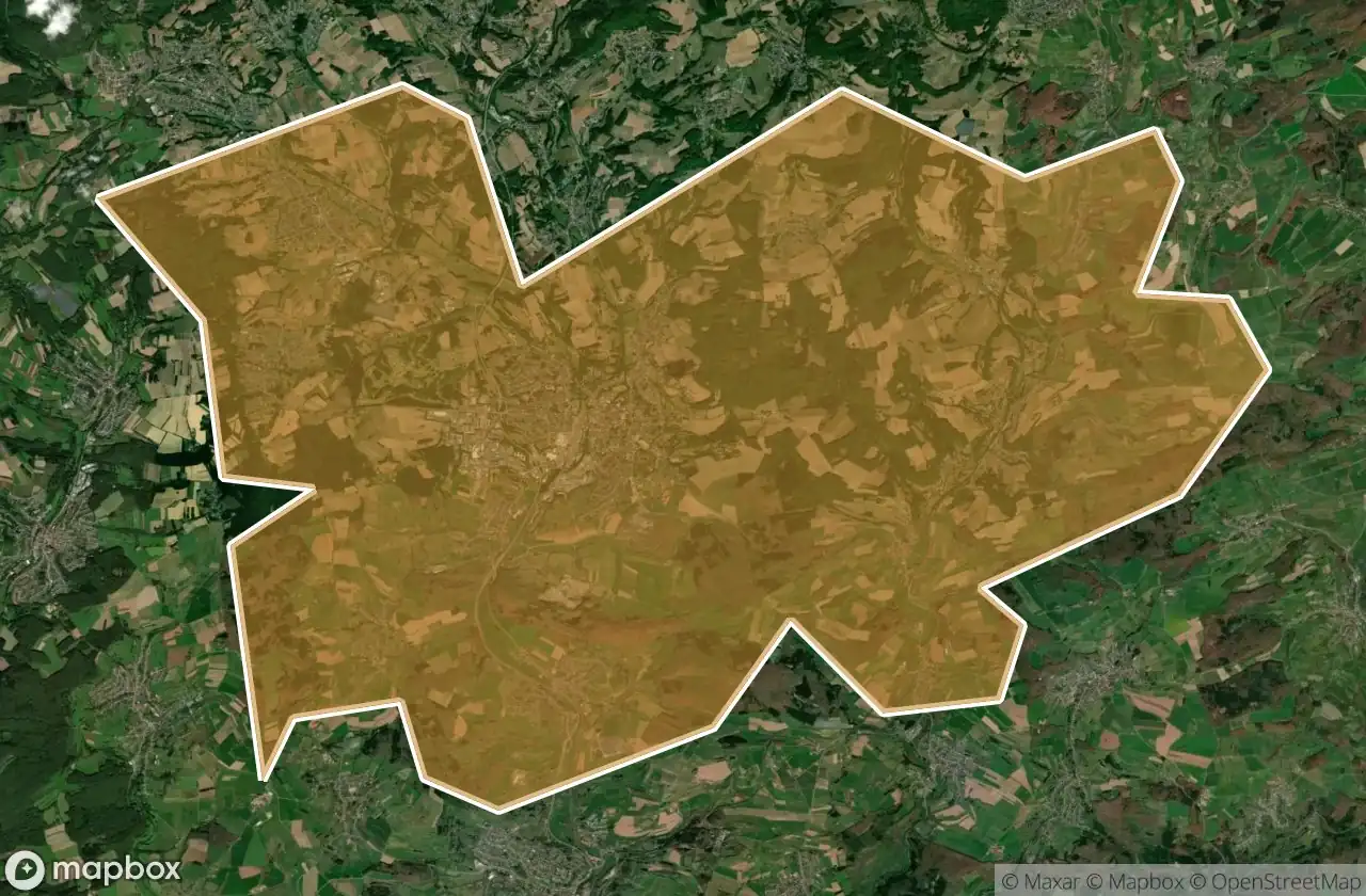
Urbex 地图 St Wendel
55 个废弃地点于 St Wendel
55
地点
一次性付款 - 终身访问
100% 安全支付
SSL 加密连接 · 不存储银行数据
终身更新
本套餐包含的主题
- 碉堡
- 军事
- 废墟
所有废弃地点于 St Wendel
55 个经过验证的GPS坐标,位于 St Wendel, Saarland, 德国.
Looking for abandoned places in St Wendel, Saarland, 德国? Urbex Maps offers 55 verified GPS coordinates of abandoned buildings in this area, including 碉堡, 军事, 废墟.
55
verified spots
GPS
Google Maps, Waze
2026年6月
last update
Where to find abandoned places in St Wendel?
The best way to find abandoned places in St Wendel is through the interactive urbex map on Urbex Maps with 55 verified GPS coordinates. Top categories are 碉堡, 军事, 废墟.
Types of abandoned places in St Wendel
- 碉堡
- 军事
- 废墟
地点于 St Wendel

Auenhof, Hirstein

Auf dem Schaumberg, Tholey

Auf der Lehn, Nohfelden

Bahnradweg Sankt Wendeler Land, Freisen

Bosen

Buchwaldstraße, Nohfelden

Eichenstraße, Freisen

Flächenbachstraße, Bliesen

Harschberger Hof, Sankt Wendel

Hinterwiesstraße, Freisen

Hubertusstraße, Nonnweiler

Höckerlinie (Westwall), Nonnweiler

Im Ambruch, Namborn

In der Held, Nonnweiler

In der Kripp, Nonnweiler

K 62, Hahnweiler

K 62, Hahnweiler

Keltenring, Winterbach

L 134, Sankt Wendel

L 134, Sankt Wendel

L 319, Nohfelden

L 322, Nohfelden

L 322, Nohfelden

Löschbachstraße, Nohfelden

Mainzweiler

Mariahütte, Nonnweiler

Moosbruchweg, Nonnweiler

Namborn

Neuhutten

Obersötern, Nohfelden

Schloßstraße, Nohfelden

Shadows In The Coordinates

Shadows of the Vector

The Geometry of Silence

The Geometry of Silence

The Imported Geometry

The Imported Silence

The Imported Silent Vector

The Imported Void

The Imported Void

The Map’s Silent Echo

Tholey

Traced From Silent Coordinates

Traces of the Mapped Void

Traces of the Mapped Void

Walhausener Weg, Oberthal

Walhausener Weg, Oberthal

Water storage bunker

Wiesentalstraße, Namborn

Wiesentalstraße, Namborn

Zollsiedlung, Nohfelden

Zollsiedlung, Nohfelden

Zollsiedlung, Nohfelden

Zollsiedlung, Nohfelden

Zum Heidenkopf, Nohfelden