Doubs
Urbex 地图 Champs de Lorday, Bavans
DoubsBourgogne-Franche-Comté法国
终身更新
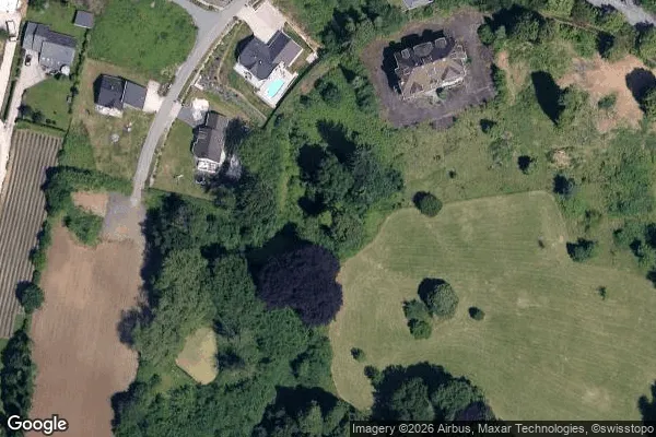
Champs de Lorday, Bavans - Coordonnées GPS Urbex
Obtenez la coordonnée GPS exacte de ce lieu abandonné situé dans le département Doubs (Bourgogne-Franche-Comté, 法国). Spot urbex vérifié et géolocalisé.
The Allaine (French: l'Allaine [lalɛn] (f), in its lower course l'Allan [lalɑ̃] (m), (German: Hall) is a 65 km long river in northwestern Switzerland and eastern France. Its source is above the village Charmoille, in the Swiss Jura mountains. Downstream from its confluence with the Bourbeuse and the Canal du Rhône au Rhin, near Méziré, it is called the Allan.
0,90EUR
Paiement unique - accès à vie
100% 安全支付
AMEX
Google Pay
stripe
SSL 加密连接 · 不存储银行数据
Ce qui est inclus
- Coordonnée GPS exacte
- Photo satellite du spot
- Accès immédiat après achat