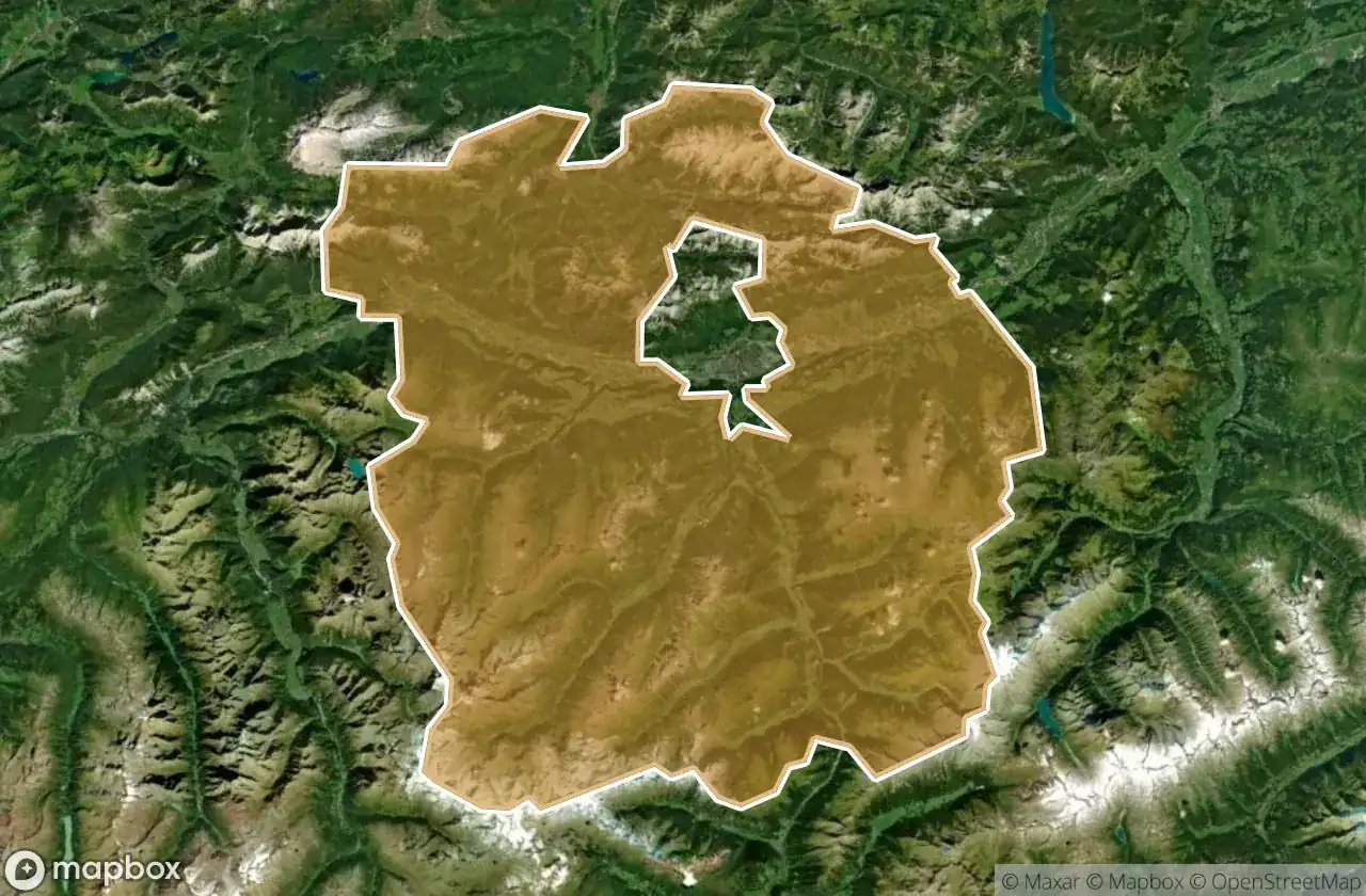
Urbex 地图 Innsbruck Land
42 个废弃地点于 Innsbruck Land
42
地点
一次性付款 - 终身访问
100% 安全支付
SSL 加密连接 · 不存储银行数据
终身更新
本套餐包含的主题
- 废墟
- 碉堡
- information
所有废弃地点于 Innsbruck Land
42 个经过验证的GPS坐标,位于 Innsbruck Land, Tirol, 奥地利.
Looking for abandoned places in Innsbruck Land, Tirol, 奥地利? Urbex Maps offers 42 verified GPS coordinates of abandoned buildings in this area, including 废墟, 碉堡, information.
42
verified spots
GPS
Google Maps, Waze
2026年6月
last update
Where to find abandoned places in Innsbruck Land?
The best way to find abandoned places in Innsbruck Land is through the interactive urbex map on Urbex Maps with 42 verified GPS coordinates. Top categories are 废墟, 碉堡, information.
Types of abandoned places in Innsbruck Land
- 废墟
- 碉堡
- information
地点于 Innsbruck Land

Besinnungsweg, Absam

Birgitz

Coordinates of Lost Time

Dorfstraße, Birgitz

Dorfstraße, Mils

Ehem. Gasthof Zum Tiroler, Wattens

Ehemalige Remise Lokalbahn, Hall in Tirol

Franz-Plattner-Straße, Zirl

Guarinonigasse, Hall in Tirol

Heiligkreuz, Hall in Tirol

Isarradweg, Scharnitz

Kinzachmühle

Knappen, Omes

Lanser Steig, Lans

Lueg, Gries am Brenner

Milser Straße, Hall in Tirol

Mutters

Neustift im Stubaital

Porta Claudia, Leutasch

Salfaun, Mauern

Schmirn

Schmirn

Schmirn

Schmirn

Schützensteig, Inzing

Seberinysteig, Innsbruck

Seestraße, Völs

Sellrainstraße, Kematen in Tirol

Shadows in the Grid

Stützenfundament

Stützenfundament

Stützenfundament

Stützenfundament

The Displaced Geometry

Traces of a Plotted Void

Traces of the Imported Void

Unterperfuss

Volderwaldhof, Volderwald

Wiesengrund, Mühlbachl

Zeigerweg, Schönberg im Stubaital

Zeigerweg, Schönberg im Stubaital

ehemalige Wehrmachtsanlage