Urbex 地图 Wiener Neustadt Land
39 个废弃地点于 Wiener Neustadt Land
39
地点
一次性付款 - 终身访问
100% 安全支付
SSL 加密连接 · 不存储银行数据
终身更新
本套餐包含的主题
- 废墟
- 碉堡
- 堡垒
- 医院
- 疗养院
所有废弃地点于 Wiener Neustadt Land
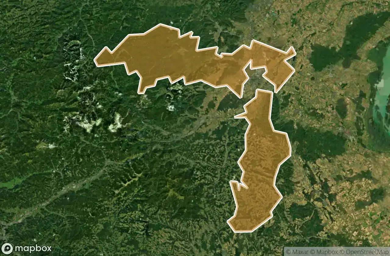
39 个经过验证的GPS坐标,位于 Wiener Neustadt Land, Niederosterreich, 奥地利.
Looking for abandoned places in Wiener Neustadt Land, Niederosterreich, 奥地利? Urbex Maps offers 39 verified GPS coordinates of abandoned buildings in this area, including 废墟, 碉堡, 堡垒, 医院, 疗养院.
39
verified spots
GPS
Google Maps, Waze
2026年6月
last update
Where to find abandoned places in Wiener Neustadt Land?
The best way to find abandoned places in Wiener Neustadt Land is through the interactive urbex map on Urbex Maps with 39 verified GPS coordinates. Top categories are 废墟, 碉堡, 堡垒, 医院, 疗养院.
Types of abandoned places in Wiener Neustadt Land
- 废墟
- 碉堡
- 堡垒
- 医院
- 疗养院
地点于 Wiener Neustadt Land

Alter Kalkofen, Markt Piesting

Bildbaum mit Jesusbild, Hernstein

Bründl, Wöllersdorf

Echoes of the River Road

Ehemalige Rotes Kreuz Ortsstelle Markt Piesting

Encoded Points of Silence

Gedenkkreuz Christina Schießl, Wopfing

Hauptplatz, Kirchschlag in der Buckligen Welt

Hochkogelstraße, Maiersdorf

Luftwaffenstraße, Hölles

Luftwaffenstraße, Hölles

Markt Piesting

Mitterweg, Hernstein

Nagerlschneid, Hernstein

Nagerlschneid, Hernstein

Pecherpfad, Hölles

Pecherpfad, Hölles

Ruine Frohnberg, Scheuchenstein

Ruinen der ehemaligen "Lindkogler Hütte" auf der Vordermandling

Sanatorium Feichtenbach

Shadows of the Iron Monolith

Shadows of the Mapped Void

Shattered Bones of Industry

The Fractured Spine of Ivy

The Ghost in the Coordinates

The Latent Geometry

The Residual Grid Ghost

The Sentinel of Sunken Rails

The Unmapped Coordinate

Theresienfeld

Traces Within The Grid

Traces of Mapped Silence

Traces of a Ghost Node

Waldstraße, Hölles

Waldstraße, Hölles

Weikersdorf am Steinfelde

Whispers from the Tangled Gable

Whispers of the Stone Citadel

ehem. Roseggerwarte