แผนที่ Urbex Lenoir
42 สถานที่ร้างใน Lenoir
42
จุด
ชำระครั้งเดียว - เข้าถึงตลอดชีพ
อัปเดตตลอดชีวิต
สถานที่ร้างทั้งหมดใน Lenoir
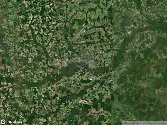
42 พิกัด GPS ที่ตรวจสอบแล้วในจังหวัด Lenoir, North Carolina, สหรัฐอเมริกา.
กำลังมองหาสถานที่ร้างในLenoir, North Carolina, สหรัฐอเมริกาอยู่ใช่ไหม? Urbex Maps มีพิกัด GPS ที่ตรวจสอบแล้ว 42 แห่งของอาคารร้างในพื้นที่นี้ รวมถึง
42
จุดที่ตรวจสอบแล้ว
GPS
Google Maps, Waze
มิถุนายน 2569
อัปเดตล่าสุด
จะหาสถานที่ร้างในLenoirได้ที่ไหน?
วิธีที่ดีที่สุดในการค้นหาสถานที่ร้างในLenoirคือผ่านแผนที่ Urbex แบบโต้ตอบบน Urbex Maps พร้อมพิกัด GPS ที่ตรวจสอบแล้ว 42 แห่ง ประเภทหลัก ๆ ได้แก่
จุดใน Lenoir

Arthur Lane, Kinston

Brooks

Brooks

Bynum Park, Kinston

Bynum Park, Kinston

Coordinates Beyond The Grid

East Blount Street, Kinston

Eastwood, La Grange

Geometry of the Silent Echo

George Washington Carver, Kinston

George Washington Carver, Kinston

George Washington Carver, Kinston

George Washington Carver, Kinston

George Washington Carver, Kinston

George Washington Carver, Kinston

Grove Park, Kinston

Hampton Inn Kinston, Kinston

Harveytown, Kinston

Lewis Elementary School, Kinston

Liberty Hill Park, Kinston

Liberty Hill Park, Kinston

Mary Beth Park

Measley Road, Kinston

Nelson Street, Kinston

Shadows Plotted in Stone

South Caswell Street, La Grange

Speedway, Kinston

Static Within the Grid

Tanglewood, Kinston

The Geometry of Absence

The Geometry of Absence

The Geometry of Absence

The Geometry of Silence

The Geometry of Silence

The Imported Echo Point

The Uploaded Silence

Traces of a Silent Vector

Traces of the Vector

Vectors of Fading Stillness

West Peyton Avenue, Kinston

Wheat Swamp

Will Baker Road