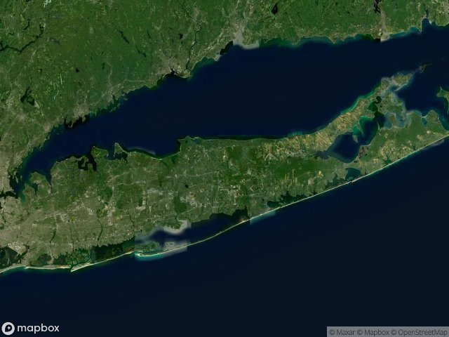
แผนที่ Urbex Suffolk
76 สถานที่ร้างใน Suffolk
76
จุด
ชำระครั้งเดียว - เข้าถึงตลอดชีพ
อัปเดตตลอดชีวิต
ธีมที่รวมอยู่ในแพ็คนี้
- สถานบำบัด
- บ้านร้าง
- kirkbride-era
- เหนือธรรมชาติ
- psychiatric
สถานที่ร้างทั้งหมดใน Suffolk
76 พิกัด GPS ที่ตรวจสอบแล้วในจังหวัด Suffolk, New York, สหรัฐอเมริกา.
กำลังมองหาสถานที่ร้างในSuffolk, New York, สหรัฐอเมริกาอยู่ใช่ไหม? Urbex Maps มีพิกัด GPS ที่ตรวจสอบแล้ว 76 แห่งของอาคารร้างในพื้นที่นี้ รวมถึง สถานบำบัด, บ้านร้าง, kirkbride-era, เหนือธรรมชาติ, psychiatric
76
จุดที่ตรวจสอบแล้ว
GPS
Google Maps, Waze
มิถุนายน 2569
อัปเดตล่าสุด
จะหาสถานที่ร้างในSuffolkได้ที่ไหน?
วิธีที่ดีที่สุดในการค้นหาสถานที่ร้างในSuffolkคือผ่านแผนที่ Urbex แบบโต้ตอบบน Urbex Maps พร้อมพิกัด GPS ที่ตรวจสอบแล้ว 76 แห่ง ประเภทหลัก ๆ ได้แก่ สถานบำบัด, บ้านร้าง, kirkbride-era, เหนือธรรมชาติ, psychiatric
ประเภทสถานที่ร้างในSuffolk
- สถานบำบัด
- บ้านร้าง
- kirkbride-era
- เหนือธรรมชาติ
- psychiatric
จุดใน Suffolk

Abandoned Fight Club house

Bannerman's Castle

Barton Avenue, East Patchogue

Booker Lane, Westhampton

Brookhaven Airport Road, Town of Brookhaven

Buffalo Central Terminal

Building 93

Camp Hero Radar Station

Camp Hero Road, Town of East Hampton

Colonel Daniel Wolf Road, Town of East Hampton

Colonel John Dunn Road, Town of East Hampton

Conklin Street, East Farmingdale

Country Fair, Coram

Crooked Hill Road, Brentwood

East 4th Street, Town of Smithtown

East 4th Street, Town of Smithtown

East Hoffman Avenue, Village of Lindenhurst

Glenwood Power Station

Grandview Circle, Town of Smithtown

Grandview Circle, Town of Smithtown

Great River

Grossinger's Catskill Resort

Grumman Boulevard, Town of Riverhead

Hickory Bend, Remsenburg-Speonk

Hudson River State Hospital

Islip Terrace, East Islip

Kings Park Boulevard, Kings Park

Kings Park Boulevard, Kings Park

Kings Park Boulevard, Kings Park

Kings Park Boulevard, Town of Smithtown

Kings Park Boulevard, Town of Smithtown

Kings Park Boulevard, Town of Smithtown

Kings Park Hike and Bike Trail, Kings Park

Kings Park Hike and Bike Trail, Kings Park

Kings Park Psychiatric Center

Kings Park Psychiatric Center (New York, USA)

Letchworth Village

Liberty Way, North Lindenhurst

Lilco Road, East Shoreham

Long Island Avenue, Medford

Long Island Greenbelt Trail, Town of Smithtown

Maple Hill Road, Kings Park

Maple Hill Road, Kings Park

Maryhaven center of hope

Montauk Highway, Montauk

Montauk Highway, Town of East Hampton

Montauk Point State Parkway, Town of East Hampton

Nikola Tesla’s Tower

North 3rd Street, Sayville

North Bay Shore, Brentwood

North Brother Island

North Greene Avenue, North Lindenhurst

Oceanview Boulevard, Town of Brookhaven

Old Country Road, Westhampton

Old Country Road, Westhampton

Old Dock Road, Kings Park

Orchard Road, Kings Park

Pilgrim Psychiatric Center, Brentwood

Point Road, Orient Point

Riverhead
+ อีก 16 จุด
คำถามที่พบบ่อยเกี่ยวกับ urbex ในSuffolk, สหรัฐอเมริกา
การสำรวจเมืองร้างถูกกฎหมายในSuffolk, สหรัฐอเมริกาหรือไม่?+
สถานที่ร้างประเภทใดบ้างที่พบได้ในSuffolk, สหรัฐอเมริกา?+
ใช้พิกัด GPS ที่ซื้อมาอย่างไร?+
มีสถานที่ร้างในSuffolk, สหรัฐอเมริกากี่แห่งในระบบ?+
ฤดูไหนเหมาะที่สุดสำหรับการสำรวจในSuffolk, สหรัฐอเมริกา?+
บทความที่เกี่ยวข้อง

Abandoned Haunted Places in the USA: 16 Spots + Map
Centralia, Hart Island, Picher, Kings Park, Holy Land USA: 16 truly abandoned and paranormal urbex sites in America. Free GPS, photos, videos.
51 min · EN

Abandoned Places in New York: 10 Best Sites (Free GPS)
Kings Park Psychiatric Center, North Brother Island, Bannerman's Castle: 10 iconic abandoned places in New York State with free GPS, 1,247 documented spots, and videos. Abandoned places map New York 2026.
38 min · EN