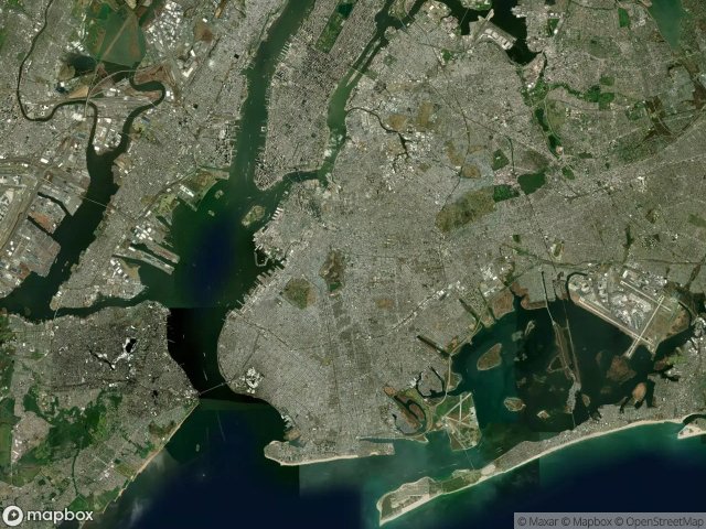
แผนที่ Urbex Kings
25 สถานที่ร้างใน Kings
25
จุด
ชำระครั้งเดียว - เข้าถึงตลอดชีพ
อัปเดตตลอดชีวิต
ธีมที่รวมอยู่ในแพ็คนี้
- โบสถ์
- โรงงานร้าง
- ซากปรักหักพัง
สถานที่ร้างทั้งหมดใน Kings
25 พิกัด GPS ที่ตรวจสอบแล้วในจังหวัด Kings, New York, สหรัฐอเมริกา.
กำลังมองหาสถานที่ร้างในKings, New York, สหรัฐอเมริกาอยู่ใช่ไหม? Urbex Maps มีพิกัด GPS ที่ตรวจสอบแล้ว 25 แห่งของอาคารร้างในพื้นที่นี้ รวมถึง โบสถ์, โรงงานร้าง, ซากปรักหักพัง
25
จุดที่ตรวจสอบแล้ว
GPS
Google Maps, Waze
มิถุนายน 2569
อัปเดตล่าสุด
จะหาสถานที่ร้างในKingsได้ที่ไหน?
วิธีที่ดีที่สุดในการค้นหาสถานที่ร้างในKingsคือผ่านแผนที่ Urbex แบบโต้ตอบบน Urbex Maps พร้อมพิกัด GPS ที่ตรวจสอบแล้ว 25 แห่ง ประเภทหลัก ๆ ได้แก่ โบสถ์, โรงงานร้าง, ซากปรักหักพัง
ประเภทสถานที่ร้างในKings
- โบสถ์
- โรงงานร้าง
- ซากปรักหักพัง
จุดใน Kings

5 story abandoned factory

9th Avenue, New York

ABANDONED CHURCH

Atkins Avenue, New York

Broadway Junction, New York

Coffey Street, New York

Colonels Row, New York

Cypress Hills, New York

East New York

Evergreen Avenue, New York

Greenpoint, New York

Halleck Street, New York

Jamaica Bay Greenway, New York

Long Island City

North Forty, New York

Pacific Street, New York

Ranger Road, New York

Red Hook Grain Terminal

Red hook Grain Terminal

Street Car, New York

Sunset Park, New York

Sunset Park, New York

Sunset Park, New York

Under The Tracks Playground

Wyckoff Avenue, New York