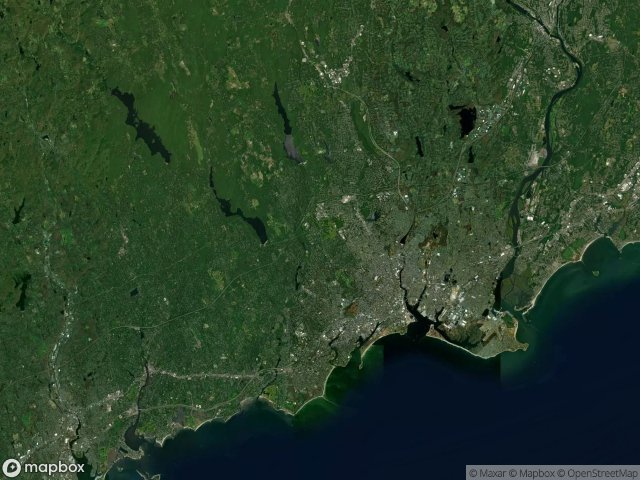
แผนที่ Urbex Fairfield
21 สถานที่ร้างใน Fairfield
21
จุด
ชำระครั้งเดียว - เข้าถึงตลอดชีพ
อัปเดตตลอดชีวิต
ธีมที่รวมอยู่ในแพ็คนี้
- โรงงานร้าง
- โรงไฟฟ้า
- ซากปรักหักพัง
สถานที่ร้างทั้งหมดใน Fairfield
21 พิกัด GPS ที่ตรวจสอบแล้วในจังหวัด Fairfield, Connecticut, สหรัฐอเมริกา.
กำลังมองหาสถานที่ร้างในFairfield, Connecticut, สหรัฐอเมริกาอยู่ใช่ไหม? Urbex Maps มีพิกัด GPS ที่ตรวจสอบแล้ว 21 แห่งของอาคารร้างในพื้นที่นี้ รวมถึง โรงงานร้าง, โรงไฟฟ้า, ซากปรักหักพัง
21
จุดที่ตรวจสอบแล้ว
GPS
Google Maps, Waze
มิถุนายน 2569
อัปเดตล่าสุด
จะหาสถานที่ร้างในFairfieldได้ที่ไหน?
วิธีที่ดีที่สุดในการค้นหาสถานที่ร้างในFairfieldคือผ่านแผนที่ Urbex แบบโต้ตอบบน Urbex Maps พร้อมพิกัด GPS ที่ตรวจสอบแล้ว 21 แห่ง ประเภทหลัก ๆ ได้แก่ โรงงานร้าง, โรงไฟฟ้า, ซากปรักหักพัง
ประเภทสถานที่ร้างในFairfield
- โรงงานร้าง
- โรงไฟฟ้า
- ซากปรักหักพัง
จุดใน Fairfield

120 Tokeneke Road Parking Lot, Darien

Abandoned power plant Norwalk CT

Barnum–Palliser Historic District, Bridgeport

Bridgeport Downtown North Historic District, Bridgeport

Central Avenue, Bridgeport

Charles Batchelder Co. Facility

Cherry Street, Bridgeport

Derby Greenway, East Derby

East Bridgeport, Bridgeport

Freeborn Road, Easton

Golden Hill Historic District, Bridgeport

Grand Street, Bridgeport

Mile Hill Road South, Newtown

Newfield, Bridgeport

Oak Street, Bridgeport

Old Farm Road, Sandy Hook

Pleasure Beach

Remington City Historic District, Bridgeport

Warren G. Harding High School, Bridgeport

Westport Power Plant

Wilton