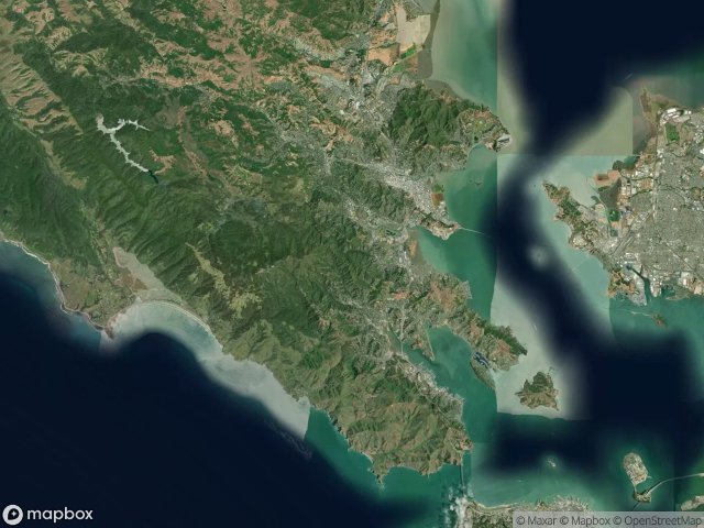
แผนที่ Urbex Marin
34 สถานที่ร้างใน Marin
34
จุด
ชำระครั้งเดียว - เข้าถึงตลอดชีพ
อัปเดตตลอดชีวิต
ธีมที่รวมอยู่ในแพ็คนี้
- บังเกอร์
- ซากปรักหักพัง
- ทหาร
- ป้อม
- ที่ตั้งปืน
- หอคอย
สถานที่ร้างทั้งหมดใน Marin
34 พิกัด GPS ที่ตรวจสอบแล้วในจังหวัด Marin, California, สหรัฐอเมริกา.
กำลังมองหาสถานที่ร้างในMarin, California, สหรัฐอเมริกาอยู่ใช่ไหม? Urbex Maps มีพิกัด GPS ที่ตรวจสอบแล้ว 34 แห่งของอาคารร้างในพื้นที่นี้ รวมถึง บังเกอร์, ซากปรักหักพัง, ทหาร, ป้อม, ที่ตั้งปืน, หอคอย
34
จุดที่ตรวจสอบแล้ว
GPS
Google Maps, Waze
มิถุนายน 2569
อัปเดตล่าสุด
จะหาสถานที่ร้างในMarinได้ที่ไหน?
วิธีที่ดีที่สุดในการค้นหาสถานที่ร้างในMarinคือผ่านแผนที่ Urbex แบบโต้ตอบบน Urbex Maps พร้อมพิกัด GPS ที่ตรวจสอบแล้ว 34 แห่ง ประเภทหลัก ๆ ได้แก่ บังเกอร์, ซากปรักหักพัง, ทหาร, ป้อม, ที่ตั้งปืน, หอคอย
ประเภทสถานที่ร้างในMarin
- บังเกอร์
- ซากปรักหักพัง
- ทหาร
- ป้อม
- ที่ตั้งปืน
- หอคอย
จุดใน Marin

A Street, San Rafael

Abandoned rehab

Aberdeen Road, Novato

Almonte, Mill Valley

Battery Alexander

Battery Yates

Belvedere Island, Belvedere

Black Point-Green Point

Bunker Road

Coastal Trail

Coastal Trail

Conzelman Road

Echoes in the Spatial Grid

Fort McDowell (East Garrison), Tiburon

Hill 88

Inverness

Marinwood

Phantoms of the Imported Grid

Point Bonita Trail

Shadows of the Plotted Point

Sir Francis Drake Boulevard

Tennessee Valley Trail

The Geometry of Absence

The Geometry of Silence

The Geometry of Silence

The Grid’s Silent Echo

The Imported Phantom Grid

The Residual Coordinate

Traces Of Imported Shadows

Traces of the Grid

Traces of the Vector

Unknown Battery

Vectors of Forgotten Space

Walgreens, San Anselmo