แผนที่ Urbex Northumberland
13 สถานที่ร้างใน Northumberland
13
จุด
ชำระครั้งเดียว - เข้าถึงตลอดชีพ
การชำระเงินปลอดภัย 100%
การเชื่อมต่อเข้ารหัส SSL · ไม่จัดเก็บข้อมูลธนาคาร
อัปเดตตลอดชีวิต
สถานที่ร้างทั้งหมดใน Northumberland
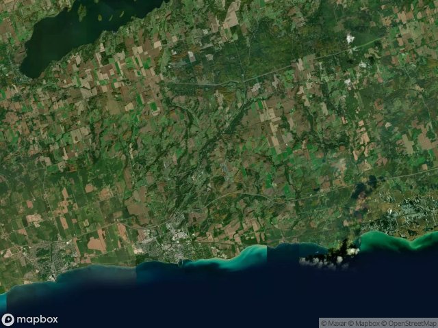
13 พิกัด GPS ที่ตรวจสอบแล้วในจังหวัด Northumberland, Ontario, แคนาดา.
กำลังมองหาสถานที่ร้างในNorthumberland, Ontario, แคนาดาอยู่ใช่ไหม? Urbex Maps มีพิกัด GPS ที่ตรวจสอบแล้ว 13 แห่งของอาคารร้างในพื้นที่นี้ รวมถึง
13
จุดที่ตรวจสอบแล้ว
GPS
Google Maps, Waze
มิถุนายน 2569
อัปเดตล่าสุด
จะหาสถานที่ร้างในNorthumberlandได้ที่ไหน?
วิธีที่ดีที่สุดในการค้นหาสถานที่ร้างในNorthumberlandคือผ่านแผนที่ Urbex แบบโต้ตอบบน Urbex Maps พร้อมพิกัด GPS ที่ตรวจสอบแล้ว 13 แห่ง ประเภทหลัก ๆ ได้แก่
จุดใน Northumberland

Cavan Street, Port Hope

County Road 2, Cramahe

County Road 2, Hamilton Township

Cranberry Road, Port Hope

Econo, Garden Hill

King Street East, Colborne

Northumberland County 45, Hastings

Oak Hill Road, Port Hope

Shadows Within the Grid

The Mapped Silence

Traces of the Mapped Void

Vernonville, Alnwick/Haldimand

Victoria Street North, Port Hope