แผนที่ Urbex Durham
46 สถานที่ร้างใน Durham
46
จุด
ชำระครั้งเดียว - เข้าถึงตลอดชีพ
การชำระเงินปลอดภัย 100%
การเชื่อมต่อเข้ารหัส SSL · ไม่จัดเก็บข้อมูลธนาคาร
อัปเดตตลอดชีวิต
สถานที่ร้างทั้งหมดใน Durham
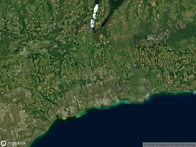
46 พิกัด GPS ที่ตรวจสอบแล้วในจังหวัด Durham, Ontario, แคนาดา.
กำลังมองหาสถานที่ร้างในDurham, Ontario, แคนาดาอยู่ใช่ไหม? Urbex Maps มีพิกัด GPS ที่ตรวจสอบแล้ว 46 แห่งของอาคารร้างในพื้นที่นี้ รวมถึง
46
จุดที่ตรวจสอบแล้ว
GPS
Google Maps, Waze
มิถุนายน 2569
อัปเดตล่าสุด
จะหาสถานที่ร้างในDurhamได้ที่ไหน?
วิธีที่ดีที่สุดในการค้นหาสถานที่ร้างในDurhamคือผ่านแผนที่ Urbex แบบโต้ตอบบน Urbex Maps พร้อมพิกัด GPS ที่ตรวจสอบแล้ว 46 แห่ง ประเภทหลัก ๆ ได้แก่
จุดใน Durham

9th Concession Road, Pickering

A Vector Into Silence

Belford, Pickering

Bowmanville POW camp, Bowmanville

Brougham, Pickering

Brown Street, Bowmanville

Central, Oshawa

Concession Road 3, Newcastle

Concession Road 5, Clarington

Concession Road 5, Orono

Concession Road 6, Uxbridge

Concession Street East, Clarington

Deckers Hill, Pickering

Finch Avenue, Pickering

Island Road, Port Perry

Longsault Road, Clarington

Macedonian Village, Whitby

Manchester, Scugog

Myrtle Station, Whitby

Oshawa

Regional Road 3, Enniskillen

Service Road, Newcastle

Seventh Concession Road, Pickering

Shadows of the Vector

Simcoe Street, Scugog

Stevenson, Whitby

Talbot, Brock

Taplin Drive, Pickering

The Geometry of Echoes

The Geometry of Silence

The Geometry of Silence

The Imported Phantom Grid

The Imported Silence

The Latent Coordinate

The Plotted Void Remains

The Vector's Silent Trace

Traced Within the Metadata

Traces Of A Ghost Map

Traces Within the Grid

Traces of Mapped Silence

Traces of the Grid

Tracing the Ghost Nodes

Vertices of the Void

Victoria Street East, Whitby

West Shore, Pickering

York Durham Line, Uxbridge