แผนที่ Urbex Brant
20 สถานที่ร้างใน Brant
20
จุด
ชำระครั้งเดียว - เข้าถึงตลอดชีพ
การชำระเงินปลอดภัย 100%
การเชื่อมต่อเข้ารหัส SSL · ไม่จัดเก็บข้อมูลธนาคาร
อัปเดตตลอดชีวิต
ธีมที่รวมอยู่ในแพ็คนี้
- ซากปรักหักพัง
สถานที่ร้างทั้งหมดใน Brant
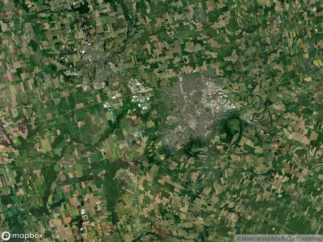
20 พิกัด GPS ที่ตรวจสอบแล้วในจังหวัด Brant, Ontario, แคนาดา.
กำลังมองหาสถานที่ร้างในBrant, Ontario, แคนาดาอยู่ใช่ไหม? Urbex Maps มีพิกัด GPS ที่ตรวจสอบแล้ว 20 แห่งของอาคารร้างในพื้นที่นี้ รวมถึง ซากปรักหักพัง
20
จุดที่ตรวจสอบแล้ว
GPS
Google Maps, Waze
มิถุนายน 2569
อัปเดตล่าสุด
จะหาสถานที่ร้างในBrantได้ที่ไหน?
วิธีที่ดีที่สุดในการค้นหาสถานที่ร้างในBrantคือผ่านแผนที่ Urbex แบบโต้ตอบบน Urbex Maps พร้อมพิกัด GPS ที่ตรวจสอบแล้ว 20 แห่ง ประเภทหลัก ๆ ได้แก่ ซากปรักหักพัง
ประเภทสถานที่ร้างในBrant
- ซากปรักหักพัง
จุดใน Brant

Cathcart, Norwich

Colborne Street East, Brantford

Dundas Street East, Paris

Ellis Avenue, Mount Pleasant

Garden Avenue, Brantford

Germans Woolen Mill, Glen Morris

Gordon Glaves Memorial Pathway, Brantford

Henderson Road

Highway 403, Brantford

New Credit Road

Oak Hill Trail, Brantford

Papple Road

Shadows in the Grid

The Geometric Echo

The Imported Silence

The Phantom Coordinate Trace

Traces Within the Grid

Traces of Mapped Silence

Traces of the Grid

Welton Road, Brantford