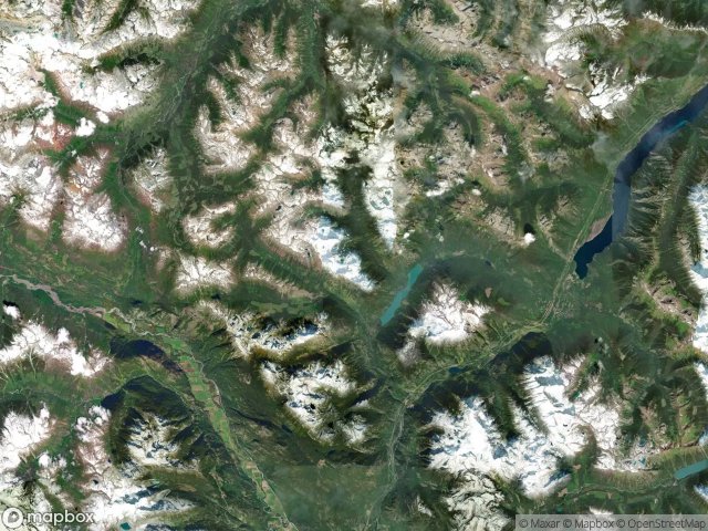
แผนที่ Urbex Squamish Lillooet
15 สถานที่ร้างใน Squamish Lillooet
15
จุด
ชำระครั้งเดียว - เข้าถึงตลอดชีพ
การชำระเงินปลอดภัย 100%
การเชื่อมต่อเข้ารหัส SSL · ไม่จัดเก็บข้อมูลธนาคาร
อัปเดตตลอดชีวิต
ธีมที่รวมอยู่ในแพ็คนี้
- ซากปรักหักพัง
- อาคาร
- บ้านร้าง
สถานที่ร้างทั้งหมดใน Squamish Lillooet
15 พิกัด GPS ที่ตรวจสอบแล้วในจังหวัด Squamish Lillooet, British Columbia, แคนาดา.
กำลังมองหาสถานที่ร้างในSquamish Lillooet, British Columbia, แคนาดาอยู่ใช่ไหม? Urbex Maps มีพิกัด GPS ที่ตรวจสอบแล้ว 15 แห่งของอาคารร้างในพื้นที่นี้ รวมถึง ซากปรักหักพัง, อาคาร, บ้านร้าง
15
จุดที่ตรวจสอบแล้ว
GPS
Google Maps, Waze
มิถุนายน 2569
อัปเดตล่าสุด
จะหาสถานที่ร้างในSquamish Lillooetได้ที่ไหน?
วิธีที่ดีที่สุดในการค้นหาสถานที่ร้างในSquamish Lillooetคือผ่านแผนที่ Urbex แบบโต้ตอบบน Urbex Maps พร้อมพิกัด GPS ที่ตรวจสอบแล้ว 15 แห่ง ประเภทหลัก ๆ ได้แก่ ซากปรักหักพัง, อาคาร, บ้านร้าง
ประเภทสถานที่ร้างในSquamish Lillooet
- ซากปรักหักพัง
- อาคาร
- บ้านร้าง
จุดใน Squamish Lillooet

Area B (Cayoosh/Pavilion)

Athelney Pass Cabin (Silver Standard Cabin)

Barkley Valley Cabin (Elliot Creek Cabin), Area C (Pemberton Valley/Mount Currie/D'Arcy)

Big Bar, Area A (Upper Bridge River Valley)

Collapsed house

McGillivray Pass Cabin

Pemberton

Ponderosa Estates, Area C (Pemberton Valley/Mount Currie/D'Arcy)

Shadows on the Grid

Shalalth, Area B (Cayoosh/Pavilion)

Sucker Lake Road, Area A (Upper Bridge River Valley)

Taylor Road, Area C (Pemberton Valley/Mount Currie/D'Arcy)

The Imported Silence

The Scripted Void

Whistler