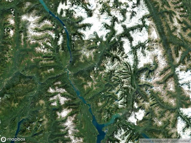
แผนที่ Urbex Columbia Shuswap
19 สถานที่ร้างใน Columbia Shuswap
19
จุด
ชำระครั้งเดียว - เข้าถึงตลอดชีพ
การชำระเงินปลอดภัย 100%
การเชื่อมต่อเข้ารหัส SSL · ไม่จัดเก็บข้อมูลธนาคาร
อัปเดตตลอดชีวิต
สถานที่ร้างทั้งหมดใน Columbia Shuswap
19 พิกัด GPS ที่ตรวจสอบแล้วในจังหวัด Columbia Shuswap, British Columbia, แคนาดา.
กำลังมองหาสถานที่ร้างในColumbia Shuswap, British Columbia, แคนาดาอยู่ใช่ไหม? Urbex Maps มีพิกัด GPS ที่ตรวจสอบแล้ว 19 แห่งของอาคารร้างในพื้นที่นี้ รวมถึง
19
จุดที่ตรวจสอบแล้ว
GPS
Google Maps, Waze
มิถุนายน 2569
อัปเดตล่าสุด
จะหาสถานที่ร้างในColumbia Shuswapได้ที่ไหน?
วิธีที่ดีที่สุดในการค้นหาสถานที่ร้างในColumbia Shuswapคือผ่านแผนที่ Urbex แบบโต้ตอบบน Urbex Maps พร้อมพิกัด GPS ที่ตรวจสอบแล้ว 19 แห่ง ประเภทหลัก ๆ ได้แก่
จุดใน Columbia Shuswap

2nd Avenue, Field

Albert Canyon, Area B (Shelter Bay/Mica Creek)

Area A (Kicking Horse/Kinbasket Lake)

Area B (Shelter Bay/Mica Creek)

Area B (Shelter Bay/Mica Creek)

Area D (Falkland/Silver Creek)

Blackwater Ridge Forest Service Road, Area A (Kicking Horse/Kinbasket Lake)

Bush River Road, Area A (Kicking Horse/Kinbasket Lake)

Ghost in the Polygon

Golden

Nodes of an Imported Silence

Shadows of the Grid

The Geometry of Absence

The Geometry of Absence

The Imported Silence

Traces Within the Grid

Traces of Forgotten Coordinates

Traces within the Grid

Vectors of Silent History