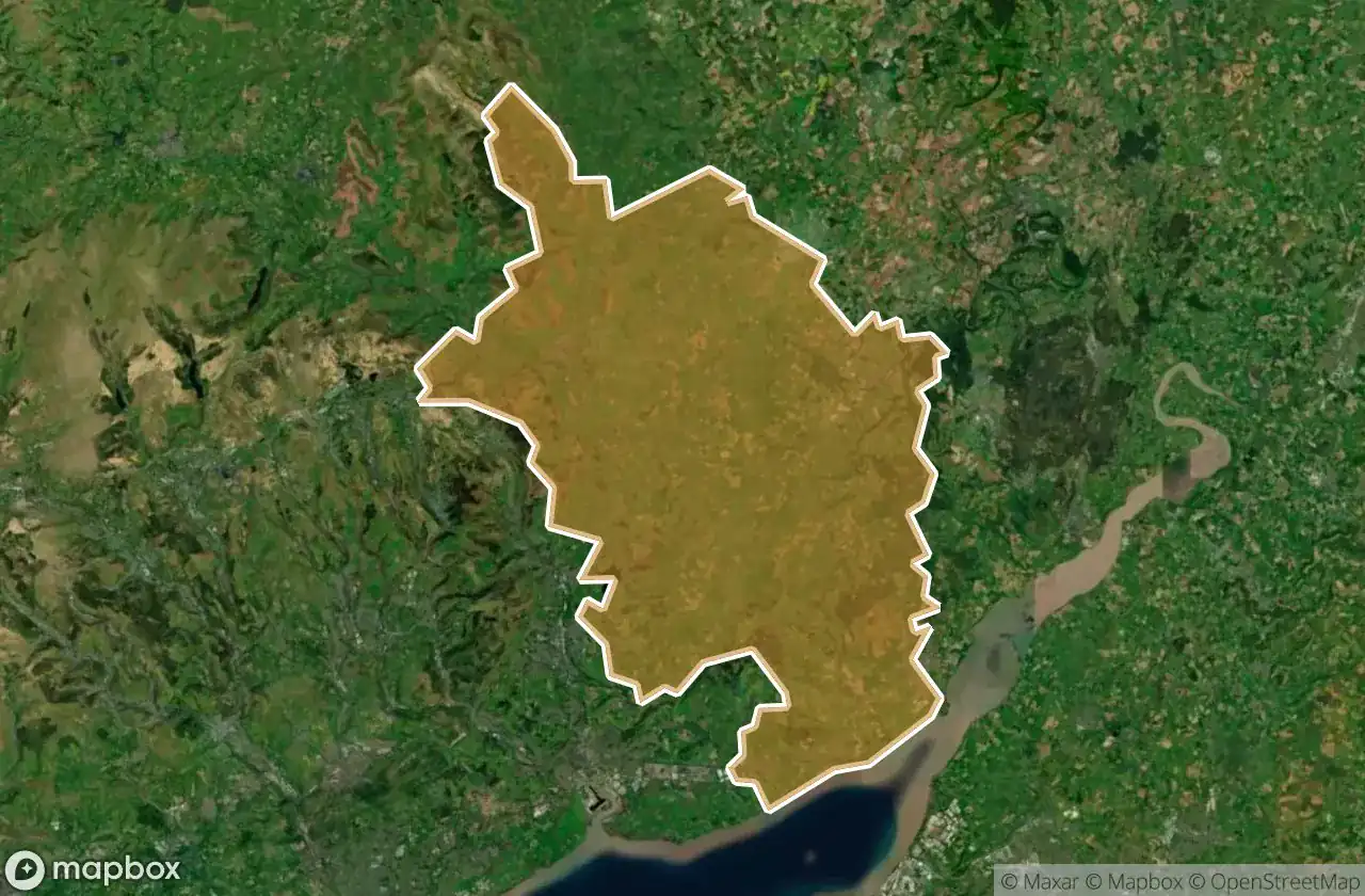
แผนที่ Urbex Monmouthshire
25 สถานที่ร้างใน Monmouthshire
25
จุด
ชำระครั้งเดียว - เข้าถึงตลอดชีพ
การชำระเงินปลอดภัย 100%
การเชื่อมต่อเข้ารหัส SSL · ไม่จัดเก็บข้อมูลธนาคาร
อัปเดตตลอดชีวิต
ธีมที่รวมอยู่ในแพ็คนี้
- ปราสาท
- สุสาน
- โบสถ์
- โรงงานร้าง
- โรงสี
สถานที่ร้างทั้งหมดใน Monmouthshire
25 พิกัด GPS ที่ตรวจสอบแล้วในจังหวัด Monmouthshire, Wales, สหราชอาณาจักร.
กำลังมองหาสถานที่ร้างในMonmouthshire, Wales, สหราชอาณาจักรอยู่ใช่ไหม? Urbex Maps มีพิกัด GPS ที่ตรวจสอบแล้ว 25 แห่งของอาคารร้างในพื้นที่นี้ รวมถึง ปราสาท, สุสาน, โบสถ์, โรงงานร้าง, โรงสี
25
จุดที่ตรวจสอบแล้ว
GPS
Google Maps, Waze
มิถุนายน 2569
อัปเดตล่าสุด
จะหาสถานที่ร้างในMonmouthshireได้ที่ไหน?
วิธีที่ดีที่สุดในการค้นหาสถานที่ร้างในMonmouthshireคือผ่านแผนที่ Urbex แบบโต้ตอบบน Urbex Maps พร้อมพิกัด GPS ที่ตรวจสอบแล้ว 25 แห่ง ประเภทหลัก ๆ ได้แก่ ปราสาท, สุสาน, โบสถ์, โรงงานร้าง, โรงสี
ประเภทสถานที่ร้างในMonmouthshire
- ปราสาท
- สุสาน
- โบสถ์
- โรงงานร้าง
- โรงสี
จุดใน Monmouthshire

Archbishop Rowan Williams CIW School, Portskewett

B4521, Skenfrith

Blackrock, Darrenfelen

Castle Street, Abergavenny

Castle Street, Abergavenny

Dewstow Golf Club (disused)

Footpath to Piercefield Park, Chepstow

Grosmont

Heads of the Valleys Road, Govilon

Llanarth

Llancillo

Mitchel Troy

Monmouth

Mounton Road, Chepstow

Old church and cemetery

Piercefield House, Chepstow

Porth-gwyn

Priordy Llanddewi Nant Hodni, Llanthony

Priory Street, Monmouth

Raglan Castle, Raglan

Tintern

Tintern

Tintern

Usk

White Castle's Outer Gatehouse