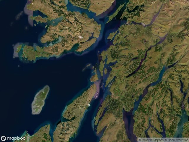
แผนที่ Urbex Argyll And Bute
32 สถานที่ร้างใน Argyll And Bute
32
จุด
ชำระครั้งเดียว - เข้าถึงตลอดชีพ
การชำระเงินปลอดภัย 100%
การเชื่อมต่อเข้ารหัส SSL · ไม่จัดเก็บข้อมูลธนาคาร
อัปเดตตลอดชีวิต
ธีมที่รวมอยู่ในแพ็คนี้
- ซากเรือ
สถานที่ร้างทั้งหมดใน Argyll And Bute
32 พิกัด GPS ที่ตรวจสอบแล้วในจังหวัด Argyll And Bute, Scotland, สหราชอาณาจักร.
กำลังมองหาสถานที่ร้างในArgyll And Bute, Scotland, สหราชอาณาจักรอยู่ใช่ไหม? Urbex Maps มีพิกัด GPS ที่ตรวจสอบแล้ว 32 แห่งของอาคารร้างในพื้นที่นี้ รวมถึง ซากเรือ
32
จุดที่ตรวจสอบแล้ว
GPS
Google Maps, Waze
มิถุนายน 2569
อัปเดตล่าสุด
จะหาสถานที่ร้างในArgyll And Buteได้ที่ไหน?
วิธีที่ดีที่สุดในการค้นหาสถานที่ร้างในArgyll And Buteคือผ่านแผนที่ Urbex แบบโต้ตอบบน Urbex Maps พร้อมพิกัด GPS ที่ตรวจสอบแล้ว 32 แห่ง ประเภทหลัก ๆ ได้แก่ ซากเรือ
ประเภทสถานที่ร้างในArgyll And Bute
- ซากเรือ
จุดใน Argyll And Bute

A828

A846, Ballygrant

Abandoned Seminary

Aird

Ardgartan, Arrochar

B8065, Crosabol

Balephetrish West, Ceann a' Bhàigh

Bonawe Iron Furnace, Taynuilt

Crossapol, Crosabol

Echoes From The Schema

Hianais, Sgairinis

Kilfinan

Kilmichael Glassary, Bridgend

Manal, Baile Mhàrtainn

Millhouse Hostel

Old Poltalloch House

PA77 108, Ceann a' Bhàigh

Peatzeria, Bowmore

Playboy’s mansion

Shadows in the Grid

The Argyll and Bute Hospital, Lochgilphead

The Encoded Meridian

The Imported Echo

The Latent Coordinate

The Mapped Ghost Node

The Mapped Void

Torpedo range

Traces Beyond the Grid

Traces in the Geometry

Traces in the Grid

Traces of a Mapped Void

Traces of the Grid