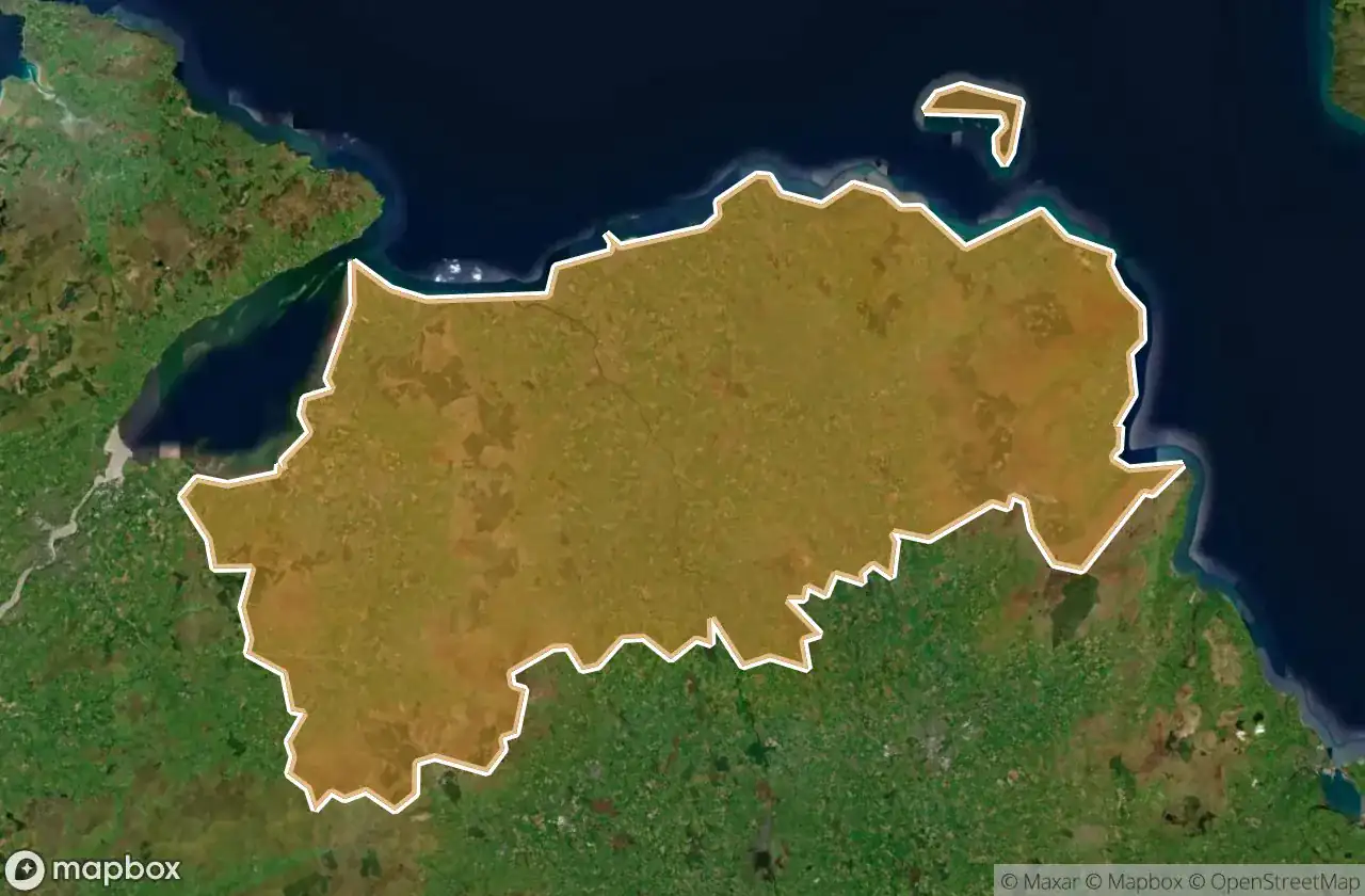
แผนที่ Urbex Causeway Coast And Glens
26 สถานที่ร้างใน Causeway Coast And Glens
26
จุด
ชำระครั้งเดียว - เข้าถึงตลอดชีพ
การชำระเงินปลอดภัย 100%
การเชื่อมต่อเข้ารหัส SSL · ไม่จัดเก็บข้อมูลธนาคาร
อัปเดตตลอดชีวิต
ธีมที่รวมอยู่ในแพ็คนี้
- สุสาน
สถานที่ร้างทั้งหมดใน Causeway Coast And Glens
26 พิกัด GPS ที่ตรวจสอบแล้วในจังหวัด Causeway Coast And Glens, Northern Ireland, สหราชอาณาจักร.
กำลังมองหาสถานที่ร้างในCauseway Coast And Glens, Northern Ireland, สหราชอาณาจักรอยู่ใช่ไหม? Urbex Maps มีพิกัด GPS ที่ตรวจสอบแล้ว 26 แห่งของอาคารร้างในพื้นที่นี้ รวมถึง สุสาน
26
จุดที่ตรวจสอบแล้ว
GPS
Google Maps, Waze
มิถุนายน 2569
อัปเดตล่าสุด
จะหาสถานที่ร้างในCauseway Coast And Glensได้ที่ไหน?
วิธีที่ดีที่สุดในการค้นหาสถานที่ร้างในCauseway Coast And Glensคือผ่านแผนที่ Urbex แบบโต้ตอบบน Urbex Maps พร้อมพิกัด GPS ที่ตรวจสอบแล้ว 26 แห่ง ประเภทหลัก ๆ ได้แก่ สุสาน
ประเภทสถานที่ร้างในCauseway Coast And Glens
- สุสาน
จุดใน Causeway Coast And Glens

Altarichard Road, Causeway Coast and Glens District

Altarichard Road, Causeway Coast and Glens District

Ballyemon Road, Causeway Coast and Glens District

Ballyveely Road, Causeway Coast and Glens District

Ballyveely Road, Causeway Coast and Glens District

Ballyveely Road, Causeway Coast and Glens District

Belvedere, Castlerock

Capecastle, Causeway Coast and Glens District

Castlecat Road, Causeway Coast and Glens District

Clintyfinnan, Causeway Coast and Glens District

Cushendall Road, Ballycastle

Drones Road, Armoy

Dunluce Castle, Bushmills

Dunluce Road, Causeway Coast and Glens District

Kinbane Castle, Ballycastle

Layd Old Church (ruins), Cushendall

Shadows of the Grid

Shadows of the Grid

The Geometry of Silence

The Latent Coordinate

The Plotted Void

The Static Geometry

The Traced Geometric Void

Traces of the Imported Silence

Vertices of the Void

Whispers of the Vector