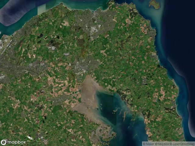
แผนที่ Urbex Ards And North Down
16 สถานที่ร้างใน Ards And North Down
16
จุด
ชำระครั้งเดียว - เข้าถึงตลอดชีพ
การชำระเงินปลอดภัย 100%
การเชื่อมต่อเข้ารหัส SSL · ไม่จัดเก็บข้อมูลธนาคาร
อัปเดตตลอดชีวิต
ธีมที่รวมอยู่ในแพ็คนี้
- ซากปรักหักพัง
สถานที่ร้างทั้งหมดใน Ards And North Down
16 พิกัด GPS ที่ตรวจสอบแล้วในจังหวัด Ards And North Down, Northern Ireland, สหราชอาณาจักร.
กำลังมองหาสถานที่ร้างในArds And North Down, Northern Ireland, สหราชอาณาจักรอยู่ใช่ไหม? Urbex Maps มีพิกัด GPS ที่ตรวจสอบแล้ว 16 แห่งของอาคารร้างในพื้นที่นี้ รวมถึง ซากปรักหักพัง
16
จุดที่ตรวจสอบแล้ว
GPS
Google Maps, Waze
มิถุนายน 2569
อัปเดตล่าสุด
จะหาสถานที่ร้างในArds And North Downได้ที่ไหน?
วิธีที่ดีที่สุดในการค้นหาสถานที่ร้างในArds And North Downคือผ่านแผนที่ Urbex แบบโต้ตอบบน Urbex Maps พร้อมพิกัด GPS ที่ตรวจสอบแล้ว 16 แห่ง ประเภทหลัก ๆ ได้แก่ ซากปรักหักพัง
ประเภทสถานที่ร้างในArds And North Down
- ซากปรักหักพัง
จุดใน Ards And North Down

Ards Maltings

Balloo Road, Bangor

Ballymacormick Drive, Groomsport

Bridge Street, Comber

Clandeboye Forest Path, Newtownards

Creighton's Green Road, Holywood

Kirkistown, Ards and North Down District Council

Oasis, Bangor

Patchy's Lane (Designated Footpath 65), Newtownards

Portaferry Windmill

Portavogie

Royal Mail, Bangor

The Geometry of Silence

The Geometry of Silence

The Latent Digital Ghost

The Residual Vector Trace