แผนที่ Urbex Antrim And Newtownabbey
19 สถานที่ร้างใน Antrim And Newtownabbey
19
จุด
ชำระครั้งเดียว - เข้าถึงตลอดชีพ
การชำระเงินปลอดภัย 100%
การเชื่อมต่อเข้ารหัส SSL · ไม่จัดเก็บข้อมูลธนาคาร
อัปเดตตลอดชีวิต
สถานที่ร้างทั้งหมดใน Antrim And Newtownabbey
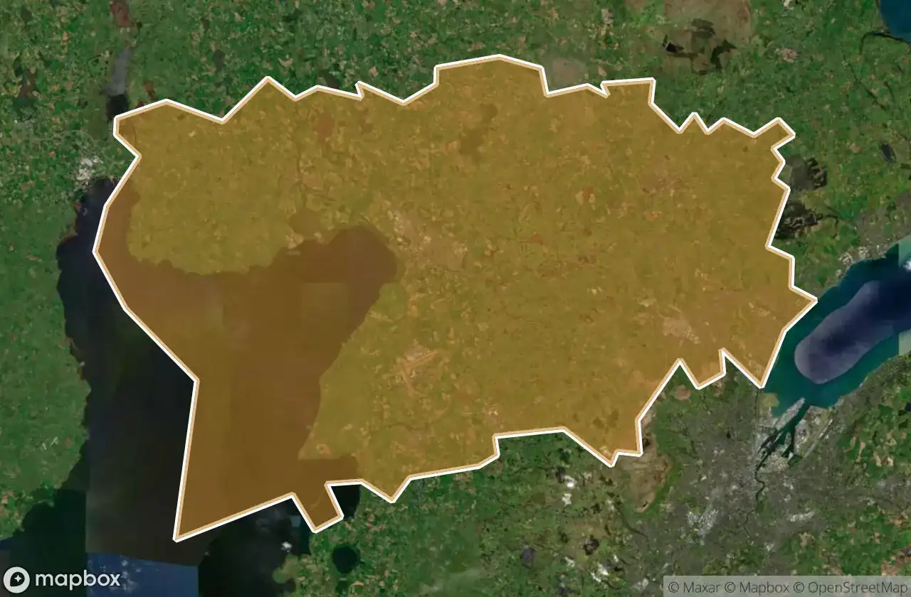
19 พิกัด GPS ที่ตรวจสอบแล้วในจังหวัด Antrim And Newtownabbey, Northern Ireland, สหราชอาณาจักร.
กำลังมองหาสถานที่ร้างในAntrim And Newtownabbey, Northern Ireland, สหราชอาณาจักรอยู่ใช่ไหม? Urbex Maps มีพิกัด GPS ที่ตรวจสอบแล้ว 19 แห่งของอาคารร้างในพื้นที่นี้ รวมถึง
19
จุดที่ตรวจสอบแล้ว
GPS
Google Maps, Waze
มิถุนายน 2569
อัปเดตล่าสุด
จะหาสถานที่ร้างในAntrim And Newtownabbeyได้ที่ไหน?
วิธีที่ดีที่สุดในการค้นหาสถานที่ร้างในAntrim And Newtownabbeyคือผ่านแผนที่ Urbex แบบโต้ตอบบน Urbex Maps พร้อมพิกัด GPS ที่ตรวจสอบแล้ว 19 แห่ง ประเภทหลัก ๆ ได้แก่
จุดใน Antrim And Newtownabbey

Antrim Road, Antrim and Newtownabbey District

Castle Lug, Antrim and Newtownabbey District

Crumlin

Grange Lane, Antrim and Newtownabbey District

Grange Lane, Antrim and Newtownabbey District

Hydepark Road, Antrim and Newtownabbey District

M2, Antrim and Newtownabbey District

Mallusk Road, Antrim and Newtownabbey District

Old Church Road, Newtownabbey

Riverside Special School, Antrim

The Geometry of Absence

The Grid’s Silent Echo

The Imported Silence

The Phantom Coordinate

The Plotted Void

Traces of Deleted Space

Traces of the Imported Void

Vertices Of A Silence

Whiteabbey Hospital, Newtownabbey