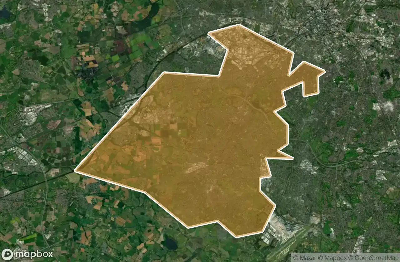
แผนที่ Urbex Trafford
24 สถานที่ร้างใน Trafford
24
จุด
ชำระครั้งเดียว - เข้าถึงตลอดชีพ
การชำระเงินปลอดภัย 100%
การเชื่อมต่อเข้ารหัส SSL · ไม่จัดเก็บข้อมูลธนาคาร
อัปเดตตลอดชีวิต
ธีมที่รวมอยู่ในแพ็คนี้
- บังเกอร์
- โบสถ์
- ฟาร์ม
สถานที่ร้างทั้งหมดใน Trafford
24 พิกัด GPS ที่ตรวจสอบแล้วในจังหวัด Trafford, England, สหราชอาณาจักร.
กำลังมองหาสถานที่ร้างในTrafford, England, สหราชอาณาจักรอยู่ใช่ไหม? Urbex Maps มีพิกัด GPS ที่ตรวจสอบแล้ว 24 แห่งของอาคารร้างในพื้นที่นี้ รวมถึง บังเกอร์, โบสถ์, ฟาร์ม
24
จุดที่ตรวจสอบแล้ว
GPS
Google Maps, Waze
มิถุนายน 2569
อัปเดตล่าสุด
จะหาสถานที่ร้างในTraffordได้ที่ไหน?
วิธีที่ดีที่สุดในการค้นหาสถานที่ร้างในTraffordคือผ่านแผนที่ Urbex แบบโต้ตอบบน Urbex Maps พร้อมพิกัด GPS ที่ตรวจสอบแล้ว 24 แห่ง ประเภทหลัก ๆ ได้แก่ บังเกอร์, โบสถ์, ฟาร์ม
ประเภทสถานที่ร้างในTrafford
- บังเกอร์
- โบสถ์
- ฟาร์ม
จุดใน Trafford

Altrincham

Angel Farm

Ashton Road, Carrington

Bowdon

Chapel Place, Trafford

Dane Road, Sale

Eccles

Enterprise, Carrington

Hulme

Merwell Road, Flixton

Mortuary Chapel, Stretford

Mosley Close, West Timperley

Nash Road, Trafford

Partington

Priory Street, Altrincham

RAF Broadheath pillbox

The Geometry of Secrets

Traced in Digital Silence

Traces of the Grid

Traces of the Unmapped

Urmston

Vertices of the Silence

Watling Gate

Yulan Drive, Urmston