แผนที่ Urbex Surrey
47 สถานที่ร้างใน Surrey
47
จุด
ชำระครั้งเดียว - เข้าถึงตลอดชีพ
การชำระเงินปลอดภัย 100%
การเชื่อมต่อเข้ารหัส SSL · ไม่จัดเก็บข้อมูลธนาคาร
อัปเดตตลอดชีวิต
ธีมที่รวมอยู่ในแพ็คนี้
- บ้านร้าง
- บังเกอร์
- โบสถ์
- ทหาร
- อาราม
- ซากปรักหักพัง
- โรงเรียน
- ปราสาท
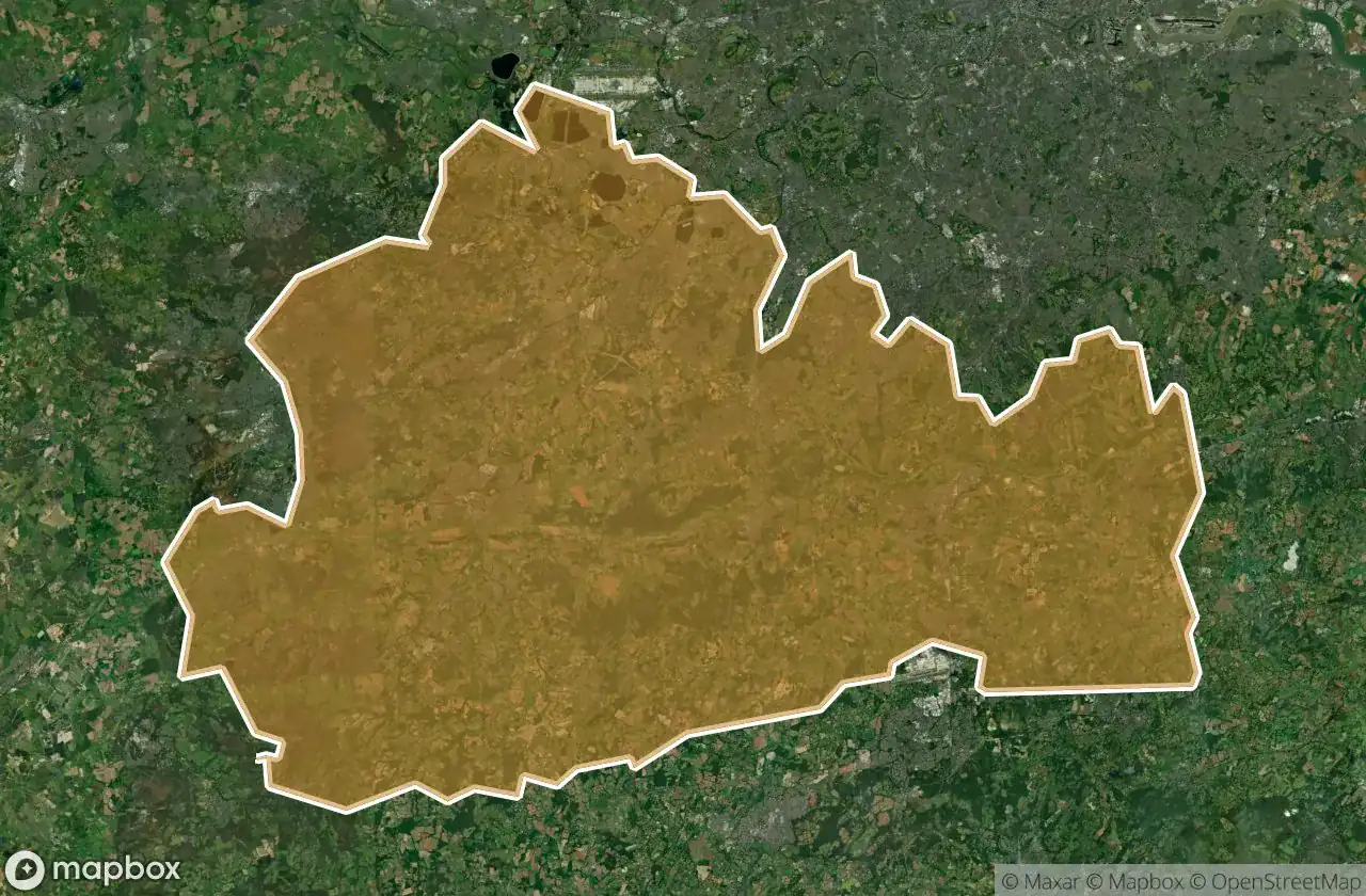
สถานที่ร้างทั้งหมดใน Surrey
47 พิกัด GPS ที่ตรวจสอบแล้วในจังหวัด Surrey, England, สหราชอาณาจักร.
กำลังมองหาสถานที่ร้างในSurrey, England, สหราชอาณาจักรอยู่ใช่ไหม? Urbex Maps มีพิกัด GPS ที่ตรวจสอบแล้ว 47 แห่งของอาคารร้างในพื้นที่นี้ รวมถึง บ้านร้าง, บังเกอร์, โบสถ์, ทหาร, อาราม, ซากปรักหักพัง
47
จุดที่ตรวจสอบแล้ว
GPS
Google Maps, Waze
มิถุนายน 2569
อัปเดตล่าสุด
จะหาสถานที่ร้างในSurreyได้ที่ไหน?
วิธีที่ดีที่สุดในการค้นหาสถานที่ร้างในSurreyคือผ่านแผนที่ Urbex แบบโต้ตอบบน Urbex Maps พร้อมพิกัด GPS ที่ตรวจสอบแล้ว 47 แห่ง ประเภทหลัก ๆ ได้แก่ บ้านร้าง, บังเกอร์, โบสถ์, ทหาร, อาราม, ซากปรักหักพัง
ประเภทสถานที่ร้างในSurrey
- บ้านร้าง
- บังเกอร์
- โบสถ์
- ทหาร
- อาราม
- ซากปรักหักพัง
- โรงเรียน
- ปราสาท
จุดใน Surrey

Addlestone

Amphitheatre

Baynards, Cranleigh

Betchworth Castle

Bletchingley

Chertsey

Clandon Park House

Clark's Green, Capel

Coulsdon

Dead Spot - Ballroom

Dead Spot - Boys school
![Dead Spot - Orphanage [GBR]](/api/images/cd6b5909ebcb243c)
Dead Spot - Orphanage [GBR]

Deepcut Sergeants Mess

Dorking

Egham

Elstead

Esher

Fernhill, Crawley

Godalming

Guildford

Guildford Road, Godalming

Guildford Road, Godalming

Hale

Hurst, Capel

Hut 103

Kilns (Disused), Box Hill Village

Kilns (Disused), Box Hill Village

Meadow Care Home

Normandy

Nutfield Road, Merstham

Ottershaw

Ruined Abbey

Seacole Way, Horley

Seale

Seale

Send

Staines

Steam Incorporating Mills

The Mausoleum

The Quarry, Betchworth

The Windmill, Waverley

Vertices of the Silent Void

Virginia Water

Waverley, Farnham

Whitehill Tower

Whyteleafe

old woking bunker