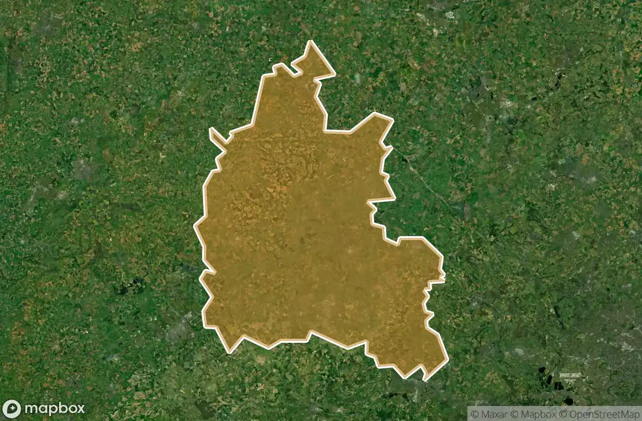
แผนที่ Urbex Oxfordshire
28 สถานที่ร้างใน Oxfordshire
28
จุด
ชำระครั้งเดียว - เข้าถึงตลอดชีพ
การชำระเงินปลอดภัย 100%
การเชื่อมต่อเข้ารหัส SSL · ไม่จัดเก็บข้อมูลธนาคาร
อัปเดตตลอดชีวิต
ธีมที่รวมอยู่ในแพ็คนี้
- โบสถ์
- บ้านร้าง
- บังเกอร์
- ฟาร์ม
- คฤหาสน์
- ทหาร
สถานที่ร้างทั้งหมดใน Oxfordshire
28 พิกัด GPS ที่ตรวจสอบแล้วในจังหวัด Oxfordshire, England, สหราชอาณาจักร.
กำลังมองหาสถานที่ร้างในOxfordshire, England, สหราชอาณาจักรอยู่ใช่ไหม? Urbex Maps มีพิกัด GPS ที่ตรวจสอบแล้ว 28 แห่งของอาคารร้างในพื้นที่นี้ รวมถึง โบสถ์, บ้านร้าง, บังเกอร์, ฟาร์ม, คฤหาสน์, ทหาร
28
จุดที่ตรวจสอบแล้ว
GPS
Google Maps, Waze
มิถุนายน 2569
อัปเดตล่าสุด
จะหาสถานที่ร้างในOxfordshireได้ที่ไหน?
วิธีที่ดีที่สุดในการค้นหาสถานที่ร้างในOxfordshireคือผ่านแผนที่ Urbex แบบโต้ตอบบน Urbex Maps พร้อมพิกัด GPS ที่ตรวจสอบแล้ว 28 แห่ง ประเภทหลัก ๆ ได้แก่ โบสถ์, บ้านร้าง, บังเกอร์, ฟาร์ม, คฤหาสน์, ทหาร
ประเภทสถานที่ร้างในOxfordshire
- โบสถ์
- บ้านร้าง
- บังเกอร์
- ฟาร์ม
- คฤหาสน์
- ทหาร
จุดใน Oxfordshire

Arncott Signal Box

Barrowbush Barn

Boar’s hill RoC outpost

Buckingham Road, Launton

Chapel Lane, Little Bourton

Charlbury

Claydon

Combe Road, Oxford

Cowley

Cowley Road, Oxford
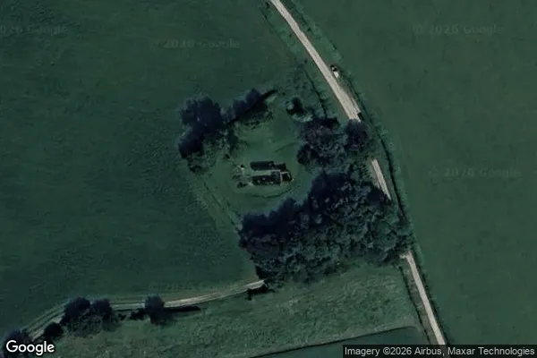
![Dead Spot - College Carmel [GBR]](/api/images/13e2be96c808c265)
Dead Spot - College Carmel [GBR]

Hampton Gay Manor

MT Yard, Launton

MT Yard, Launton

Nuffield House

Old Headgington Hill Hall pool

Pangbourne

Queen's Tower

RAF Mount Farm Air Raid Shelter

Randolph Street Mews

Remains of St Nicholas's College

Rotherfield Peppard
St James Church, Bix Brand

Thorpe Road, Wardington

Wayland's Smithy, Ashbury

Wheatley

Witney

Yarnton Sewage Works