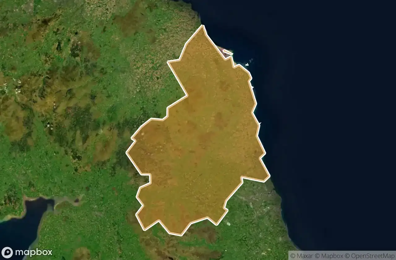
แผนที่ Urbex Northumberland
18 สถานที่ร้างใน Northumberland
18
จุด
ชำระครั้งเดียว - เข้าถึงตลอดชีพ
การชำระเงินปลอดภัย 100%
การเชื่อมต่อเข้ารหัส SSL · ไม่จัดเก็บข้อมูลธนาคาร
อัปเดตตลอดชีวิต
สถานที่ร้างทั้งหมดใน Northumberland
18 พิกัด GPS ที่ตรวจสอบแล้วในจังหวัด Northumberland, England, สหราชอาณาจักร.
กำลังมองหาสถานที่ร้างในNorthumberland, England, สหราชอาณาจักรอยู่ใช่ไหม? Urbex Maps มีพิกัด GPS ที่ตรวจสอบแล้ว 18 แห่งของอาคารร้างในพื้นที่นี้ รวมถึง
18
จุดที่ตรวจสอบแล้ว
GPS
Google Maps, Waze
มิถุนายน 2569
อัปเดตล่าสุด
จะหาสถานที่ร้างในNorthumberlandได้ที่ไหน?
วิธีที่ดีที่สุดในการค้นหาสถานที่ร้างในNorthumberlandคือผ่านแผนที่ Urbex แบบโต้ตอบบน Urbex Maps พร้อมพิกัด GPS ที่ตรวจสอบแล้ว 18 แห่ง ประเภทหลัก ๆ ได้แก่
จุดใน Northumberland

Alnwick

Broomhaugh, Riding Mill

Cowpen Road, Cowpen
Dead Spot - Children’s Home

Dunstanburgh Castle, Dunstan

Edlingham, Bolton

Greenwell Road, Alnwick

Heddon Banks, Heddon-on-the-Wall

Holy Island Road

Marine Road, Alnmouth

Military Road

Military Road, Haltwhistle

Pigdon, Mitford

The Avenue, Seaton Sluice

The Geometry of Silence

The Geometry of Silence

Tughall, Beadnell

West End, Shilbottle