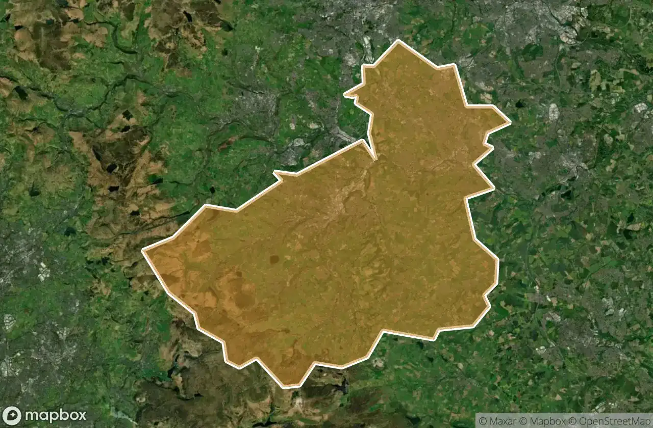
แผนที่ Urbex Kirklees
28 สถานที่ร้างใน Kirklees
28
จุด
ชำระครั้งเดียว - เข้าถึงตลอดชีพ
การชำระเงินปลอดภัย 100%
การเชื่อมต่อเข้ารหัส SSL · ไม่จัดเก็บข้อมูลธนาคาร
อัปเดตตลอดชีวิต
ธีมที่รวมอยู่ในแพ็คนี้
- โรงงานร้าง
- โรงสี
- ซากปรักหักพัง
สถานที่ร้างทั้งหมดใน Kirklees
28 พิกัด GPS ที่ตรวจสอบแล้วในจังหวัด Kirklees, England, สหราชอาณาจักร.
กำลังมองหาสถานที่ร้างในKirklees, England, สหราชอาณาจักรอยู่ใช่ไหม? Urbex Maps มีพิกัด GPS ที่ตรวจสอบแล้ว 28 แห่งของอาคารร้างในพื้นที่นี้ รวมถึง โรงงานร้าง, โรงสี, ซากปรักหักพัง
28
จุดที่ตรวจสอบแล้ว
GPS
Google Maps, Waze
มิถุนายน 2569
อัปเดตล่าสุด
จะหาสถานที่ร้างในKirkleesได้ที่ไหน?
วิธีที่ดีที่สุดในการค้นหาสถานที่ร้างในKirkleesคือผ่านแผนที่ Urbex แบบโต้ตอบบน Urbex Maps พร้อมพิกัด GPS ที่ตรวจสอบแล้ว 28 แห่ง ประเภทหลัก ๆ ได้แก่ โรงงานร้าง, โรงสี, ซากปรักหักพัง
ประเภทสถานที่ร้างในKirklees
- โรงงานร้าง
- โรงสี
- ซากปรักหักพัง
จุดใน Kirklees

Clough, Linthwaite

Clough, Linthwaite

Copthurst

Cowcliff Hill Road, Hepworth

Deer Hill, Marsden

Easter Gate, Marsden

Elland

Ellentree Head

Hill Top, Hade Edge

Hinchliffe Mill

Lingards Wood, Marsden

Linshaws Road, Barnsley

Liversedge

Lydgate, New Mill

Magdale, Honley

Malkinhouse, Upperthong

Meltham Mills

Mirfield

Shadows On The Grid

Storthes Hall Lane, Kirkburton

Storthes Hall Lane, Kirkburton

Storthes Hall Park Campus, Kirkburton

Storthes Hall Park Campus, Kirkburton

Storthes Hall Park Campus, Kirkburton

Thunderbridge, Kirkburton

Tunnel End, Marsden

Wellhouse, Golcar

Wilberlee, Slaithwaite