แผนที่ Urbex Central Bedfordshire
21 สถานที่ร้างใน Central Bedfordshire
21
จุด
ชำระครั้งเดียว - เข้าถึงตลอดชีพ
การชำระเงินปลอดภัย 100%
การเชื่อมต่อเข้ารหัส SSL · ไม่จัดเก็บข้อมูลธนาคาร
อัปเดตตลอดชีวิต
สถานที่ร้างทั้งหมดใน Central Bedfordshire
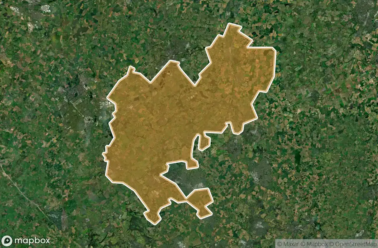
21 พิกัด GPS ที่ตรวจสอบแล้วในจังหวัด Central Bedfordshire, England, สหราชอาณาจักร.
กำลังมองหาสถานที่ร้างในCentral Bedfordshire, England, สหราชอาณาจักรอยู่ใช่ไหม? Urbex Maps มีพิกัด GPS ที่ตรวจสอบแล้ว 21 แห่งของอาคารร้างในพื้นที่นี้ รวมถึง
21
จุดที่ตรวจสอบแล้ว
GPS
Google Maps, Waze
มิถุนายน 2569
อัปเดตล่าสุด
จะหาสถานที่ร้างในCentral Bedfordshireได้ที่ไหน?
วิธีที่ดีที่สุดในการค้นหาสถานที่ร้างในCentral Bedfordshireคือผ่านแผนที่ Urbex แบบโต้ตอบบน Urbex Maps พร้อมพิกัด GPS ที่ตรวจสอบแล้ว 21 แห่ง ประเภทหลัก ๆ ได้แก่
จุดใน Central Bedfordshire

A4146, Leighton Buzzard

A5130, Woburn

Ampthill

Biggleswade Green Ring, Biggleswade

Dunstable

Greensands Ridge Walk, Clophill

Hitchin Road, Arlesey

Houghton Regis

Leighton Road, Stanbridge

Lower Caldecote, Upper Caldecote

Old Warden Tunnel, Old Warden

Shadows of the Imported Grid

Shadows of the Vector

Silsoe

Some rusy sheds

The Jitty, Aspley Guise

Thorn, Houghton Regis

Trace of the Silent Vector

Traces of Mapped Silence

Traces of the Grid

Tyrrells End, Eversholt