แผนที่ Urbex Bradford
28 สถานที่ร้างใน Bradford
28
จุด
ชำระครั้งเดียว - เข้าถึงตลอดชีพ
การชำระเงินปลอดภัย 100%
การเชื่อมต่อเข้ารหัส SSL · ไม่จัดเก็บข้อมูลธนาคาร
อัปเดตตลอดชีวิต
ธีมที่รวมอยู่ในแพ็คนี้
- โรงงานร้าง
- สุสาน
- โบสถ์
- โรงสี
สถานที่ร้างทั้งหมดใน Bradford
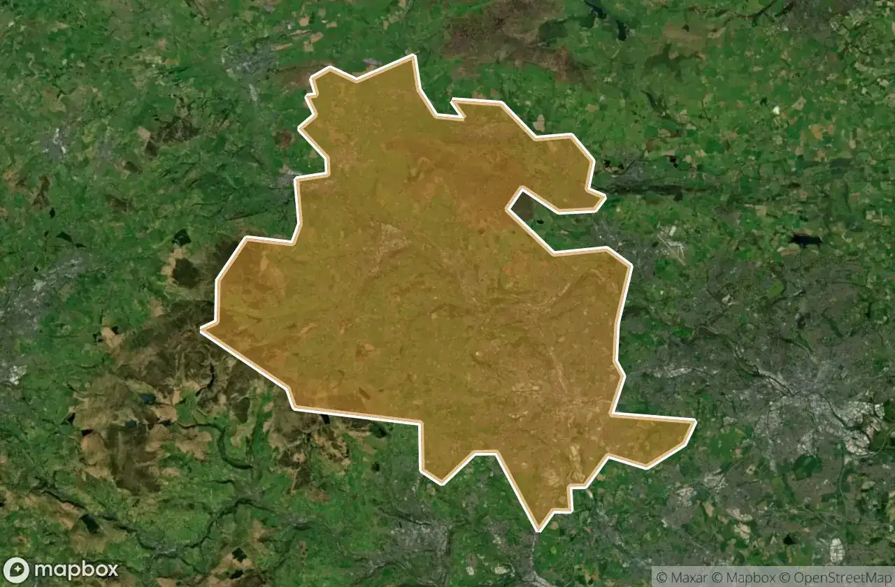
28 พิกัด GPS ที่ตรวจสอบแล้วในจังหวัด Bradford, England, สหราชอาณาจักร.
กำลังมองหาสถานที่ร้างในBradford, England, สหราชอาณาจักรอยู่ใช่ไหม? Urbex Maps มีพิกัด GPS ที่ตรวจสอบแล้ว 28 แห่งของอาคารร้างในพื้นที่นี้ รวมถึง โรงงานร้าง, สุสาน, โบสถ์, โรงสี
28
จุดที่ตรวจสอบแล้ว
GPS
Google Maps, Waze
มิถุนายน 2569
อัปเดตล่าสุด
จะหาสถานที่ร้างในBradfordได้ที่ไหน?
วิธีที่ดีที่สุดในการค้นหาสถานที่ร้างในBradfordคือผ่านแผนที่ Urbex แบบโต้ตอบบน Urbex Maps พร้อมพิกัด GPS ที่ตรวจสอบแล้ว 28 แห่ง ประเภทหลัก ๆ ได้แก่ โรงงานร้าง, สุสาน, โบสถ์, โรงสี
ประเภทสถานที่ร้างในBradford
- โรงงานร้าง
- สุสาน
- โบสถ์
- โรงสี
จุดใน Bradford

Back Lane, Stanbury

Bowling Cemetery Chapel

Carr Lane, Denholme

Cragg Bottom Road, Keighley

Cross Gates

Drighlington

Enfield Side Road, Stanbury

Enfield Side Road, Stanbury

Foster Park View, Denholme

Fountain Hall, Bradford

Griff Mill

Guiseley

High Lathe

Hungerhill, Queensbury

Keighley Road, Cullingworth

Keighley Road, Cullingworth

Kennel Lane, Oxenhope

Manywells Height, Cullingworth

Manywells Height, Cullingworth

New Works Road, Oakenshaw

Parson's Lane, Addingham

Ponden Lane, Stanbury

Shipley

Texere Yarns Yarn Factory

West Croft Head, Oxenhope

Whalley Lane, Denholme

White Cote

Yorkshire Martyrs catholic collage