แผนที่ Urbex Hinterrhein
14 สถานที่ร้างใน Hinterrhein
14
จุด
ชำระครั้งเดียว - เข้าถึงตลอดชีพ
การชำระเงินปลอดภัย 100%
การเชื่อมต่อเข้ารหัส SSL · ไม่จัดเก็บข้อมูลธนาคาร
อัปเดตตลอดชีวิต
ธีมที่รวมอยู่ในแพ็คนี้
- ปราสาท
- เหมือง
สถานที่ร้างทั้งหมดใน Hinterrhein
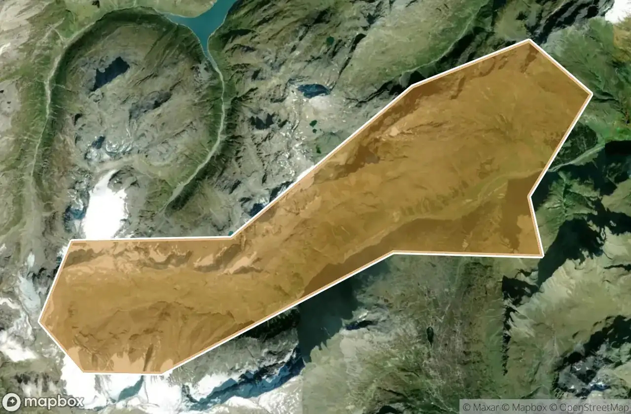
14 พิกัด GPS ที่ตรวจสอบแล้วในจังหวัด Hinterrhein, Graubunden, สวิตเซอร์แลนด์.
กำลังมองหาสถานที่ร้างในHinterrhein, Graubunden, สวิตเซอร์แลนด์อยู่ใช่ไหม? Urbex Maps มีพิกัด GPS ที่ตรวจสอบแล้ว 14 แห่งของอาคารร้างในพื้นที่นี้ รวมถึง ปราสาท, เหมือง
14
จุดที่ตรวจสอบแล้ว
GPS
Google Maps, Waze
มิถุนายน 2569
อัปเดตล่าสุด
จะหาสถานที่ร้างในHinterrheinได้ที่ไหน?
วิธีที่ดีที่สุดในการค้นหาสถานที่ร้างในHinterrheinคือผ่านแผนที่ Urbex แบบโต้ตอบบน Urbex Maps พร้อมพิกัด GPS ที่ตรวจสอบแล้ว 14 แห่ง ประเภทหลัก ๆ ได้แก่ ปราสาท, เหมือง
ประเภทสถานที่ร้างในHinterrhein
- ปราสาท
- เหมือง
จุดใน Hinterrhein

Alp Taspegn, Reischen

Alp da Stierva, Albula/Alvra

Am Bach, Cresta

Carschenna, Sils im Domleschg

Carschenna, Sils im Domleschg

Cazis

Italienische Strasse, Hinterrhein

Muttala Sura, Ferrera

The Imported Silence

Thusis

Traces in the Grid

Vector to the Void

Veia Crestas, Reischen

Vertices of the Void