แผนที่ Urbex Ratoath
47 สถานที่ร้างใน Ratoath
47
จุด
ชำระครั้งเดียว - เข้าถึงตลอดชีพ
การชำระเงินปลอดภัย 100%
การเชื่อมต่อเข้ารหัส SSL · ไม่จัดเก็บข้อมูลธนาคาร
อัปเดตตลอดชีวิต
ธีมที่รวมอยู่ในแพ็คนี้
- โบสถ์
- ปราสาท
- บ้านร้าง
สถานที่ร้างทั้งหมดใน Ratoath
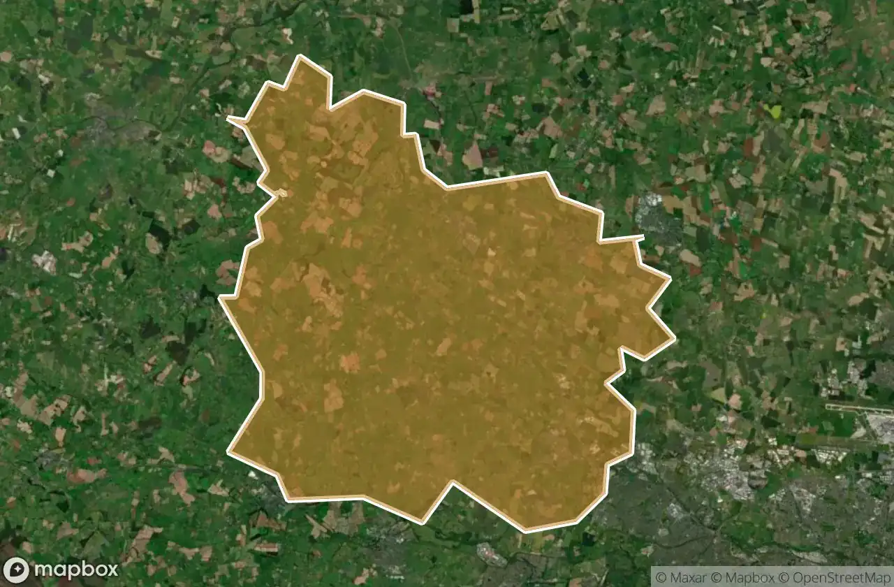
47 พิกัด GPS ที่ตรวจสอบแล้วในจังหวัด Ratoath, Meath, ไอร์แลนด์.
กำลังมองหาสถานที่ร้างในRatoath, Meath, ไอร์แลนด์อยู่ใช่ไหม? Urbex Maps มีพิกัด GPS ที่ตรวจสอบแล้ว 47 แห่งของอาคารร้างในพื้นที่นี้ รวมถึง โบสถ์, ปราสาท, บ้านร้าง
47
จุดที่ตรวจสอบแล้ว
GPS
Google Maps, Waze
มิถุนายน 2569
อัปเดตล่าสุด
จะหาสถานที่ร้างในRatoathได้ที่ไหน?
วิธีที่ดีที่สุดในการค้นหาสถานที่ร้างในRatoathคือผ่านแผนที่ Urbex แบบโต้ตอบบน Urbex Maps พร้อมพิกัด GPS ที่ตรวจสอบแล้ว 47 แห่ง ประเภทหลัก ๆ ได้แก่ โบสถ์, ปราสาท, บ้านร้าง
ประเภทสถานที่ร้างในRatoath
- โบสถ์
- ปราสาท
- บ้านร้าง
จุดใน Ratoath

Alicebrook

Balfeaghan Church

Balfeaghan House

Church of St. Nicholas

Culmullin

Culmullin

Dunboyne

Dunboyne ED, The Municipal District of Ratoath

Dunboyne ED, The Municipal District of Ratoath

Dunshaughlin Union Workhouse, site of

Hanwood Gardens

Hartstown

Kilclone

Kilcloon

Killeen Church

Killien Road

Killien Road

Kilmore Church

Kilmore ED, The Municipal District of Ratoath

Knockmark Church

Knocknatulla

L22051

L2207

L2207

L22071

L2214

L50211

L62031

L6216

L6222

L6222

L6222

Mount View

Moyglare Castle

Mulhussey Castle

Mulhussey Church

R125

R147

Rathregan Church

Rathregan House

Rodanstown ED, The Municipal District of Ratoath

Rodanstown ED, The Municipal District of Ratoath

Rodanstown ED, The Municipal District of Ratoath

Rush House

Salestown Castle (in ruins)

St. Seachnall's Church

Windmill (in ruins)