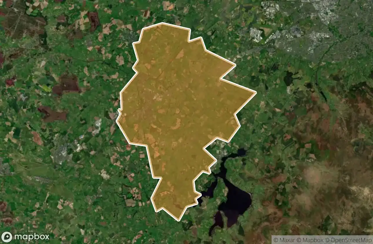
แผนที่ Urbex Naas
49 สถานที่ร้างใน Naas
49
จุด
ชำระครั้งเดียว - เข้าถึงตลอดชีพ
การชำระเงินปลอดภัย 100%
การเชื่อมต่อเข้ารหัส SSL · ไม่จัดเก็บข้อมูลธนาคาร
อัปเดตตลอดชีวิต
ธีมที่รวมอยู่ในแพ็คนี้
- ปราสาท
- โบสถ์
- บ้านร้าง
สถานที่ร้างทั้งหมดใน Naas
49 พิกัด GPS ที่ตรวจสอบแล้วในจังหวัด Naas, Kildare, ไอร์แลนด์.
กำลังมองหาสถานที่ร้างในNaas, Kildare, ไอร์แลนด์อยู่ใช่ไหม? Urbex Maps มีพิกัด GPS ที่ตรวจสอบแล้ว 49 แห่งของอาคารร้างในพื้นที่นี้ รวมถึง ปราสาท, โบสถ์, บ้านร้าง
49
จุดที่ตรวจสอบแล้ว
GPS
Google Maps, Waze
มิถุนายน 2569
อัปเดตล่าสุด
จะหาสถานที่ร้างในNaasได้ที่ไหน?
วิธีที่ดีที่สุดในการค้นหาสถานที่ร้างในNaasคือผ่านแผนที่ Urbex แบบโต้ตอบบน Urbex Maps พร้อมพิกัด GPS ที่ตรวจสอบแล้ว 49 แห่ง ประเภทหลัก ๆ ได้แก่ ปราสาท, โบสถ์, บ้านร้าง
ประเภทสถานที่ร้างในNaas
- ปราสาท
- โบสถ์
- บ้านร้าง
จุดใน Naas

Ballymore Road

Bishopscourt House

Blackhall Road

Castle Rag

Castlesize

Corban's Lane, Naas

Covet Lane

Eadestown

Furness Church

Jigginstown House

Jigginstown House, Naas

Kerdiffstown Road

Kerdiffstown Road

Killashee ED, The Municipal District of Naas

Kilteel Castle

Kilteel Graveyard

L2007

L2008

L2018

L6030

L6035

L6038-1

L6049

L6050

L6051

L6053

L6053

L6054

L6054

L6054

Newtown ED, The Municipal District of Naas

Newtown ED, The Municipal District of Naas

Oughterard Castle

Oughterard Church

R409, Naas

R448

Rathmore

Rathmore ED, The Municipal District of Naas

Saint Martin's Avenue, Naas

Sallins

Sallins

St. John's Church

Valleymount

Valleymount

Valleymount

Valleymount

Valleymount

Valleymount

Valleymount